Transport Functions
Multimodal
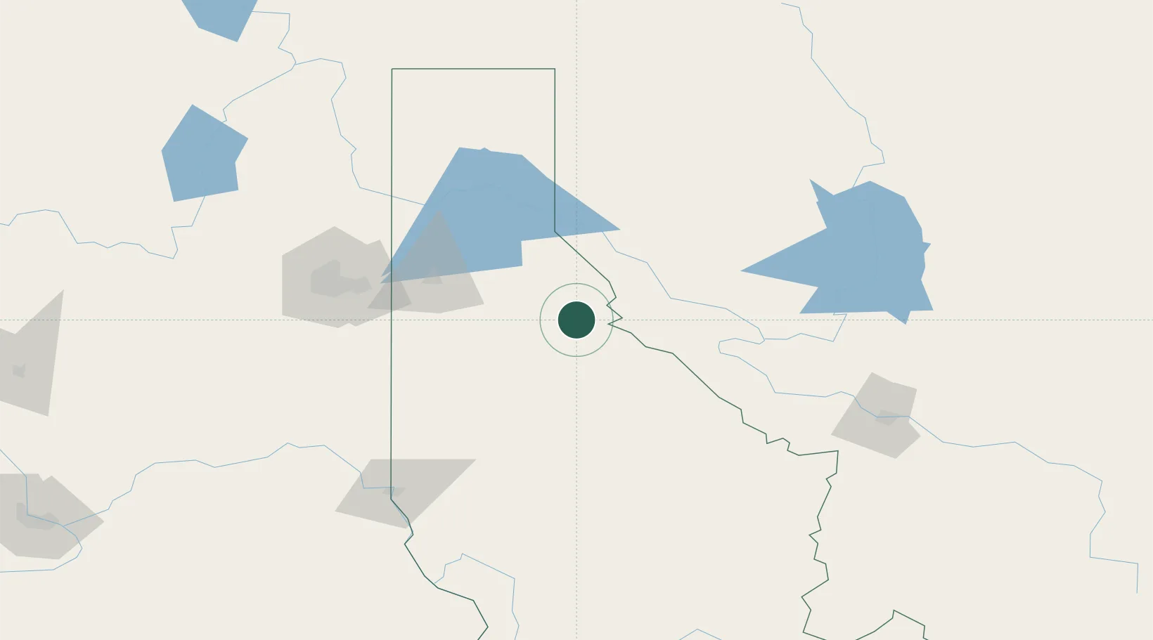
Hub Profile
Place type
Provincial seat
Region
Idaho
Population
761
Time zone
America/Los_Angeles
Elevation
832 m
Location
Nearby Logistics Neighbours
Cities
- 1Smelterville20 km
- 2Thompson Falls45 km
- 3Heron65 km
- 4Dalton Gardens70 km
- 5Hayden Lake73 km
Ports
- 1The Dalles453 km
- 2Everett475 km
- 3Mukilteo481 km
- 4Seattle482 km
- 5Point Wells487 km
Airports
Trade Zones
- 1FTZ No. 224 Spokane120 km
- 2FTZ No. 242 Boundary County158 km
- 3FTZ No. 203 Moses Lake261 km
- 4FTZ No. 274 Butte-Silver Bow287 km
- 5FTZ No. 187 Toole County298 km
DatabookThe Record of Consolidated Knowledge
United States beyond logistics?