Transport Functions
Road
Multimodal
Hub Profile
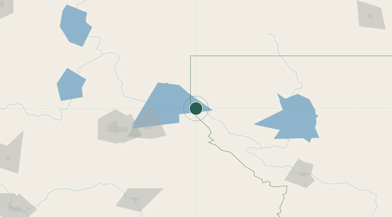
Place type
Populated place
Region
Montana
Population
282
Time zone
America/Denver
Elevation
686 m
Location
Nearby Logistics Neighbours
Cities
- 1Troy45 km
- 2Kootenai51 km
- 3Smelterville60 km
- 4Wallace65 km
- 5Thompson Falls67 km
Ports
- 1Everett466 km
- 2Mukilteo473 km
- 3Seattle479 km
- 4Mission City480 km
- 5Point Wells482 km
Airports
Trade Zones
- 1FTZ No. 242 Boundary County101 km
- 2FTZ No. 224 Spokane122 km
- 3FTZ No. 203 Moses Lake274 km
- 4FTZ No. 187 Toole County277 km
- 5FTZ No. 274 Butte-Silver Bow331 km
DatabookThe Record of Consolidated Knowledge
United States beyond logistics?