Transport Functions
Multimodal
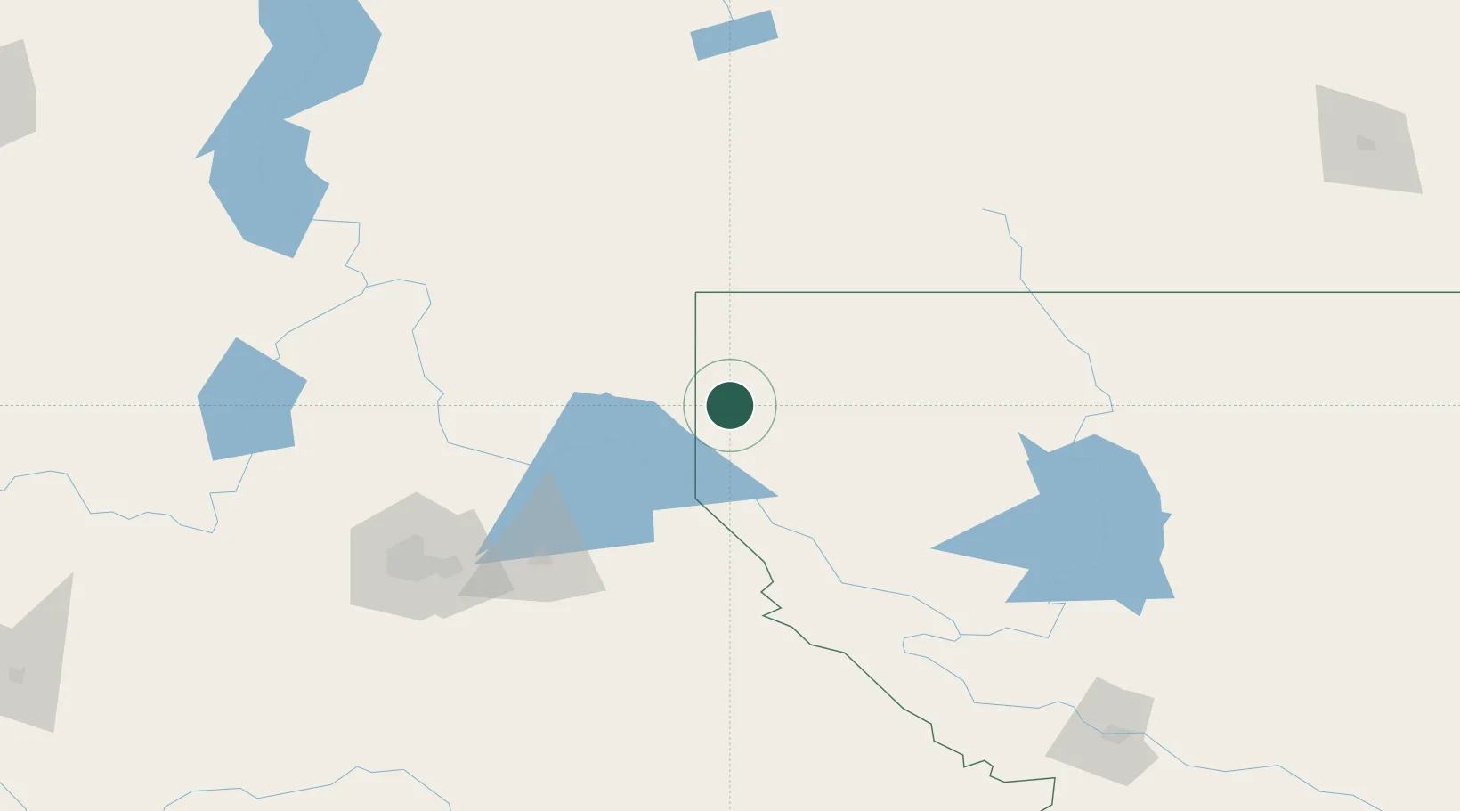
Hub Profile
Place type
Populated place
Region
Montana
Population
877
Time zone
America/Denver
Elevation
579 m
Location
Nearby Logistics Neighbours
Cities
- 1Bonners Ferry41 km
- 2Heron45 km
- 3Kootenai49 km
- 4Kingsgate65 km
- 5Rexford73 km
Ports
- 1Everett472 km
- 2Mission City473 km
- 3Mukilteo479 km
- 4Bellingham488 km
- 5Seattle489 km
Airports
Trade Zones
- 1FTZ No. 242 Boundary County77 km
- 2FTZ No. 224 Spokane147 km
- 3FTZ No. 187 Toole County265 km
- 4FTZ No. 203 Moses Lake297 km
- 5Calgary Region Inland Port317 km
DatabookThe Record of Consolidated Knowledge
United States beyond logistics?