Large airport · United States
Spokane International AirportKGEG
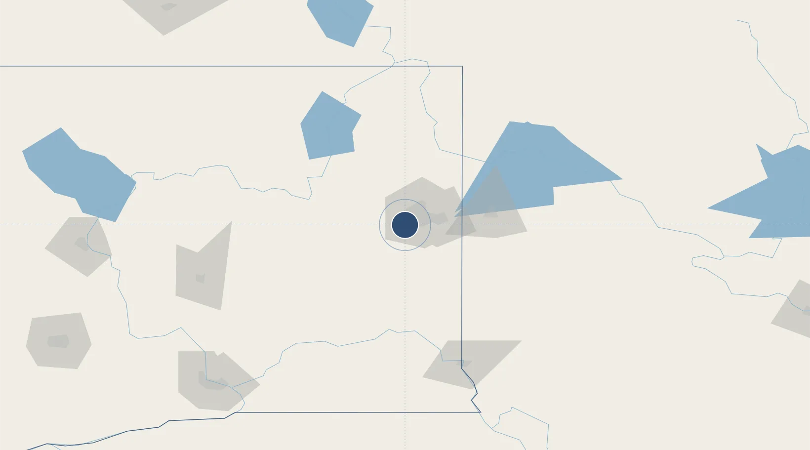
47.6199°, -117.5340°
11,002 ft
Longest runway
2
Runways
2,376 ft
Elevation
Runway & Layout

Radio Frequencies
ATIS
124.325 MHz
TWR
118.3 MHz
GND
121.9 MHz
CLD
127.55 MHz
CLNC DEL
A/D
123.75 MHz
APP/DEP
OPS
38.75 MHz
ARNG
RDO
122.2 MHz
SEATTLE RDO
UNIC
122.95 MHz
UNICOM
Navaids
GE NDB Phort 388 kHz
Runways · 2
| Runway | Dimensions | Surface | True heading | Lit |
|---|---|---|---|---|
| 03/21 | 11,002 × 150ft | Asphalt | 045° | ✓ |
| 08/26 | 8,199 × 150ft | Asphalt | 090° | ✓ |
Airport Specifications
IATA code
GEG
ICAO code
KGEG
Airport class
Large airport
Scheduled service
Yes
Runway surface
Asphalt
Served city
Spokane
Location
Nearby Logistics Neighbours
Airports
Cities
- 1Airway Heights5 km
- 2Fairchild Air Force Base8 km
- 3Cheney17 km
- 4Mica25 km
- 5Spangle25 km
Ports
- 1Everett352 km
- 2Mukilteo358 km
- 3The Dalles358 km
- 4Seattle360 km
- 5Point Wells365 km
Trade Zones
- 1FTZ No. 224 Spokane7 km
- 2FTZ No. 242 Boundary County136 km
- 3FTZ No. 203 Moses Lake146 km
- 4FTZ No. 085 Everett352 km
- 5FTZ No. 086 Tacoma369 km
DatabookThe Record of Consolidated Knowledge
United States beyond logistics?