Medium airport · United States
Sitka Rocky Gutierrez AirportPASI
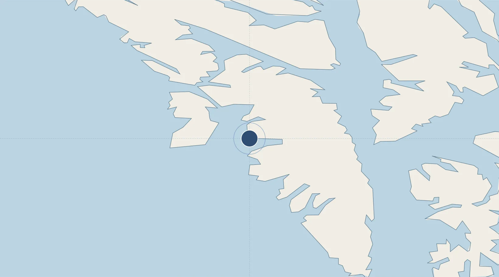
57.0471°, -135.3620°
7,200 ft
Longest runway
1
Runways
21 ft
Elevation
Runway & Layout

Radio Frequencies
ATIS
135.9 MHz
CTAF
123.6 MHz
CNTR
126.1 MHz
ANCHORAGE CNTR
FSS
123.6 MHz
RDO
MISC
113.8 MHz
TWEB
OPS
34.5 MHz
SITKA AIR
UNIC
122.95 MHz
UNICOM
Navaids
BKA VORTAC Biorka Island 113.80 MHz
IME NDB Mount Edgecumbe 414 kHz
SIT NDB Sitka 358 kHz
Runways · 1
| Runway | Dimensions | Surface | True heading | Lit |
|---|---|---|---|---|
| 11/29 | 7,200 × 150ft | Asphalt | 136° | ✓ |
Airport Specifications
IATA code
SIT
ICAO code
PASI
Airport class
Medium airport
Scheduled service
Yes
Runway surface
Asphalt
Served city
Sitka
Location
Nearby Logistics Neighbours
Airports
- 1Sitka Seaplane Base1 km
- 2Chatham Seaplane Base58 km
- 3Angoon Seaplane Base69 km
- 4Tenakee Seaplane Base82 km
- 5Kake Seaplane Base86 km
Cities
- 1Tyee49 km
- 2Pleasant Island146 km
- 3Juneau151 km
- 4Neets Bay271 km
- 5Ward Cove290 km
Ports
- 1Sitka2 km
- 2Chatham58 km
- 3Washington Bay71 km
- 4Tenakee Springs82 km
- 5Big Port Walter83 km
Trade Zones
- 1FTZ No. 108 Valdez774 km
- 2PrInce George Logistics Park866 km
- 3FTZ No. 195 Fairbanks1090 km
- 4FTZ Vancouver Island1188 km
- 5FTZ No. 128 Whatcom County1251 km
DatabookThe Record of Consolidated Knowledge
United States beyond logistics?