Channel & Berth Profile
Pilotage, Tugs & Services
Potable waterYES
Diesel bunkersYES
Facilities & Capabilities
Container—
Ro-Ro—
Liquid bulk—
Dry bulk—
Oil terminal—
Break bulk—
Dry dock—
Repairs—
BunkeringYES
Rail link—
Dangerous cargo—
ISPS security—
Harbour Specifications
Harbour size
Very Small
Harbour type
Coastal (Natural)
Shelter
Fair
Water body
Alaska-Canada coastal waters; North Pacific Ocean
Tidal range
3.4 m
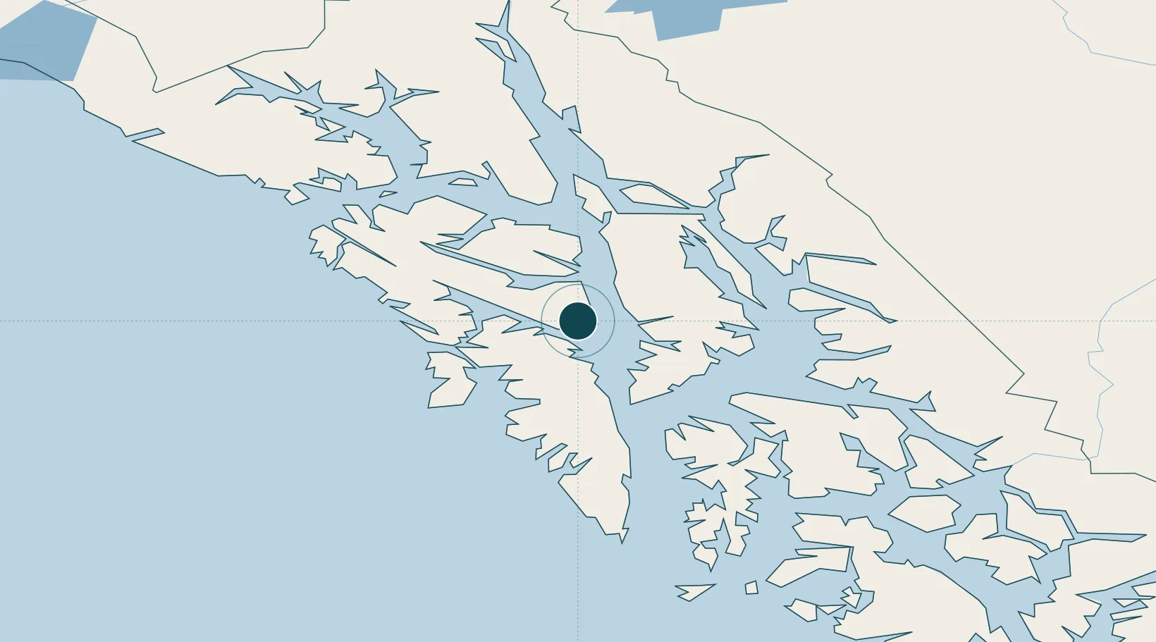
Location
Nearby Logistics Neighbours
Ports
- 1Tenakee Springs34 km
- 2Sitka57 km
- 3Hawk Inlet68 km
- 4Hoonah73 km
- 5Funter82 km
Cities
- 1Tyee57 km
- 2Juneau93 km
- 3Pleasant Island102 km
- 4Neets Bay280 km
- 5Ward Cove307 km
Airports
- 1Chatham Seaplane Base1 km
- 2Angoon Seaplane Base22 km
- 3Tenakee Seaplane Base34 km
- 4Sitka Seaplane Base57 km
- 5Sitka Rocky Gutierrez Airport58 km
Trade Zones
- 1FTZ No. 108 Valdez761 km
- 2PrInce George Logistics Park860 km
- 3FTZ No. 195 Fairbanks1061 km
- 4FTZ Vancouver Island1205 km
- 5FTZ No. 128 Whatcom County1268 km
DatabookThe Record of Consolidated Knowledge
United States beyond logistics?