UN/LOCODE hub · United States
USTBS

Tombstone

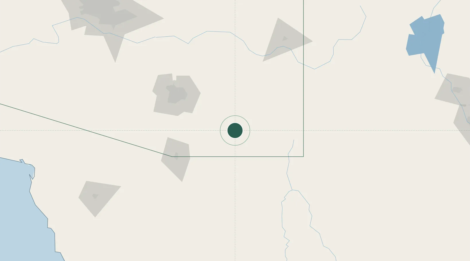
31.7167°, -110.0667°
1,312
Population
2
Transport functions

Transport Functions

Rail
Road
UN/LOCODE

Hub Profile

Place type
Populated place
GeoNames
Region
Arizona
GeoNames
Population
1,312
GeoNames
Time zone
America/Phoenix
GeoNames
Elevation
1,384 m
GeoNames

Location

Location of USTBS
Natural Earth 10m (public domain) · Arizona · USTBS · 31.72, -110.07GoogleOSMYandex

Nearby Logistics Neighbours

Cities
  1. 1Cochise45 km
  2. 2Willcox63 km
  3. 3Agua Prieta66 km
  4. 4Vail72 km
  5. 5Cananea84 km
Nearest neighbours — logibook spatial index (haversine) over the source coordinates
Ports
  1. 1Guaymas430 km
  2. 2Santa Rosalia533 km
  3. 3Isla San Marcos541 km
  4. 4Ensenada621 km
  5. 5Puerto Morro Redondo640 km
Nearest neighbours — logibook spatial index (haversine) over the source coordinates
Airports
  1. 1Sierra Vista Municipal Airport / Libby Army Air Field30 km
  2. 2Bisbee Douglas International Airport52 km
  3. 3Nogales International Airport81 km
  4. 4Davis Monthan Air Force Base92 km
  5. 5Tucson International Airport93 km
Nearest neighbours — logibook spatial index (haversine) over the source coordinates
Trade Zones
  1. 1FTZ No. 139 Sierra Vista28 km
  2. 2FTZ No. 060 Nogales92 km
  3. 3FTZ No. 174 Pima County104 km
  4. 4FTZ No. 221 Mesa251 km
  5. 5FTZ No. 197 Dona Ana County265 km
Nearest neighbours — logibook spatial index (haversine) over the source coordinates
DatabookThe Record of Consolidated Knowledge
United States beyond logistics?
Browse databook

All Sources

LocationsUN/LOCODE
UN/LOCODE — free
LocationsGeoNames
CC BY 4.0
Portsthe NGA World Port Index
Public domain (US gov)
AirportsOurAirports
Public domain
Trade Zonesthe World Bank SEZ database
CC BY 4.0
Trade ZonesOpen Zone Map
CC BY
← United States locations