Transport Functions
Port
Rail
Road
Multimodal
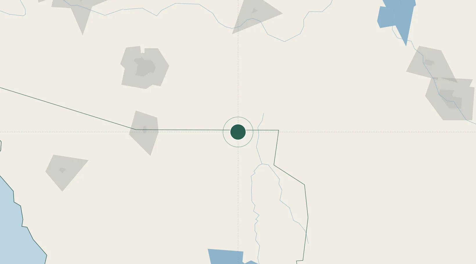
Hub Profile
Place type
Provincial seat
Region
Sonora
Population
77,254
Time zone
America/Hermosillo
Elevation
1,219 m
Location
Nearby Logistics Neighbours
Ports
- 1Guaymas398 km
- 2Santa Rosalia514 km
- 3Isla San Marcos520 km
- 4Topolobampo636 km
- 5Puerto Morro Redondo652 km
Airports
Trade Zones
- 1FTZ No. 139 Sierra Vista75 km
- 2FTZ No. 060 Nogales130 km
- 3FTZ No. 174 Pima County170 km
- 4FTZ No. 197 Dona Ana County241 km
- 5FTZ No. 068 El Paso309 km
DatabookThe Record of Consolidated Knowledge
Mexico beyond logistics?