Medium airport · United States

Nogales International AirportKOLS

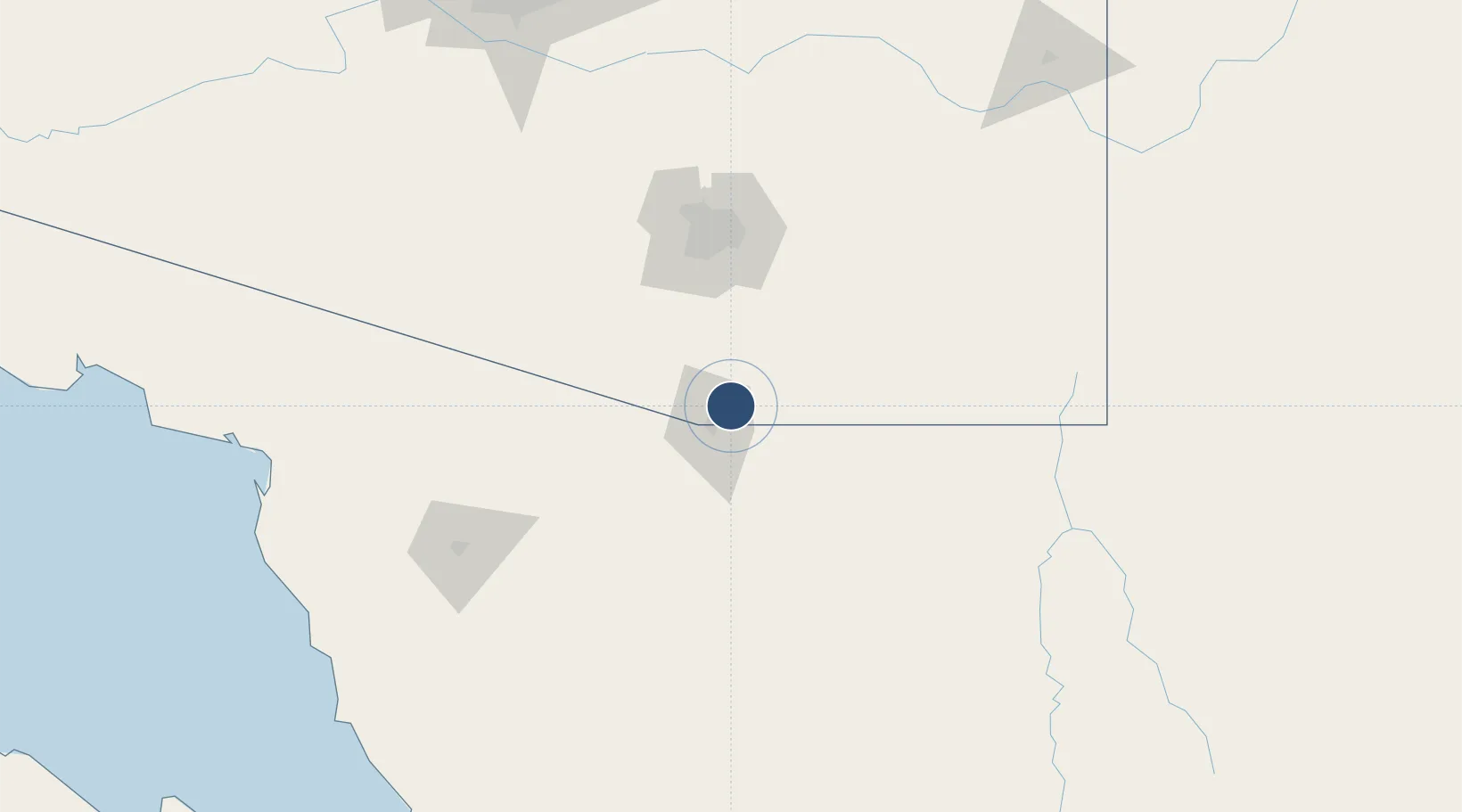
31.4177°, -110.8480°
7,200 ft
Longest runway
1
Runways
3,955 ft
Elevation

Runway & Layout

Nogales International Airport runway & taxiway layout
Runway & taxiway layout — OpenStreetMap (ODbL) / OurAirports

Radio Frequencies

ASOS
121.125 MHz
A/D
125.1 MHz
TUCSON APP DEP
RDO
122.4 MHz
PRESCOTT RDO
UNIC
122.8 MHz
CTAF/UNICOM
OurAirports

Navaids

ENZ NDB Nogales 394 kHz
OLS VOR-DME Nogales 108.20 MHz
OurAirports

Runways · 1

RunwayDimensions SurfaceTrue headingLit
04/22 7,200 × 100ft Asphalt 046°
OurAirports

Airport Specifications

IATA code
OLS
OurAirports
ICAO code
KOLS
OurAirports
Airport class
Medium airport
OurAirports
Scheduled service
No
OurAirports
Runway surface
Asphalt
OurAirports
Served city
Nogales
OurAirports

Location

Location of KOLS
Natural Earth 10m (public domain) · Arizona · KOLS · 31.42, -110.85GoogleOSMYandex

Nearby Logistics Neighbours

Airports
  1. 1Nogales International Airport25 km
  2. 2Sierra Vista Municipal Airport / Libby Army Air Field51 km
  3. 3Tucson International Airport78 km
  4. 4Davis Monthan Air Force Base83 km
  5. 5Bisbee Douglas International Airport118 km
Nearest neighbours — logibook spatial index (haversine) over the source coordinates
Cities
  1. 1Tubac29 km
  2. 2Green Valley52 km
  3. 3Sahuarita60 km
  4. 4Imuris71 km
  5. 5Vail71 km
Nearest neighbours — logibook spatial index (haversine) over the source coordinates
Ports
  1. 1Guaymas389 km
  2. 2Santa Rosalia475 km
  3. 3Isla San Marcos486 km
  4. 4Ensenada550 km
  5. 5Puerto Morro Redondo562 km
Nearest neighbours — logibook spatial index (haversine) over the source coordinates
Trade Zones
  1. 1FTZ No. 060 Nogales11 km
  2. 2FTZ No. 139 Sierra Vista55 km
  3. 3FTZ No. 174 Pima County97 km
  4. 4FTZ No. 221 Mesa241 km
  5. 5FTZ No. 075 Phoenix254 km
Nearest neighbours — logibook spatial index (haversine) over the source coordinates
DatabookThe Record of Consolidated Knowledge
United States beyond logistics?
Browse databook

All Sources

AirportsOurAirports
Public domain
Portsthe NGA World Port Index
Public domain (US gov)
LocationsUN/LOCODE
UN/LOCODE — free
Trade Zonesthe World Bank SEZ database
CC BY 4.0
Trade ZonesOpen Zone Map
CC BY
InfrastructureOpenStreetMap
ODbL 1.0
← United States airports