Transport Functions
Road
Multimodal
Hub Profile
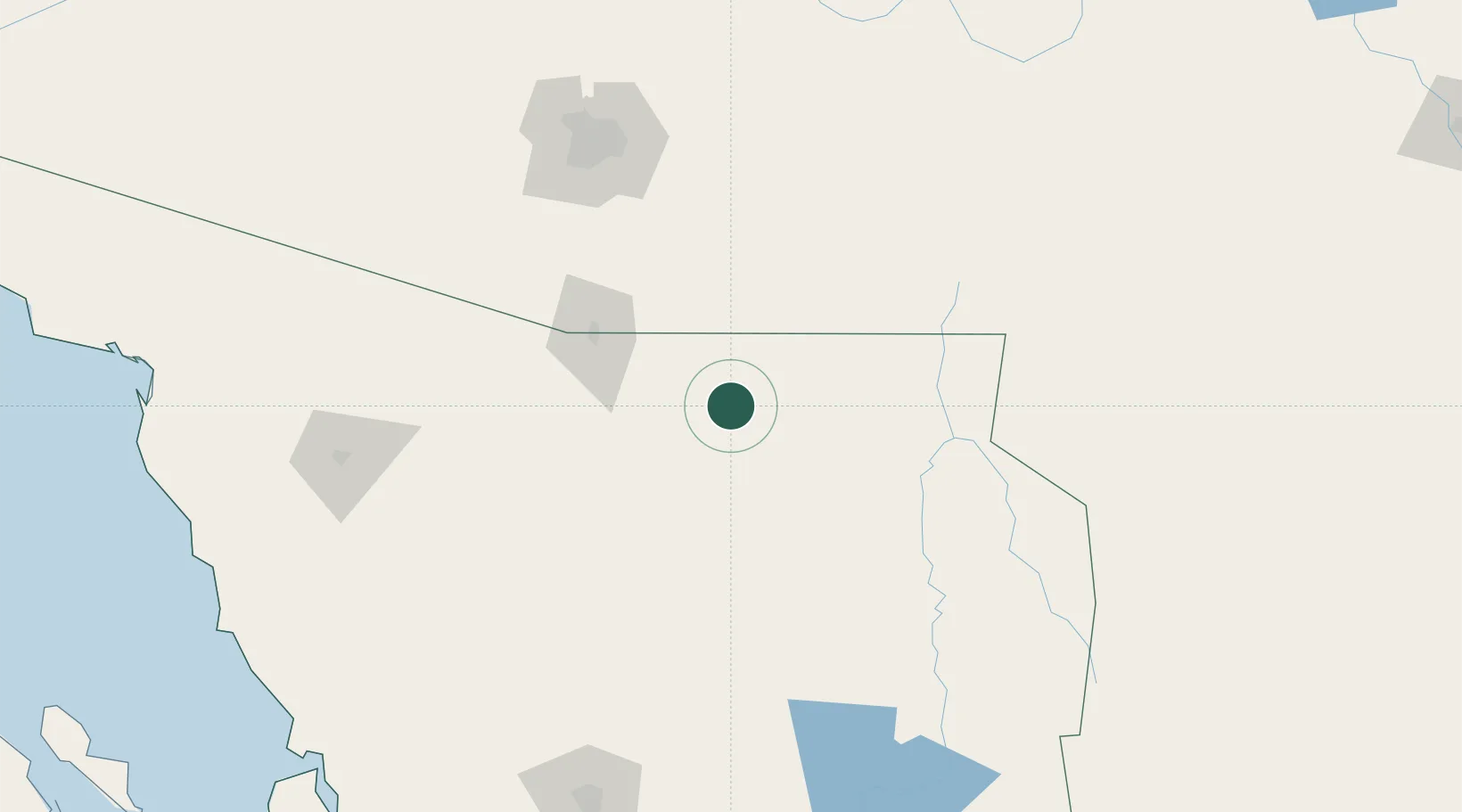
Place type
Provincial seat
Region
Sonora
Population
31,560
Time zone
America/Hermosillo
Elevation
1,601 m
Location
Nearby Logistics Neighbours
Cities
- 1Imuris59 km
- 2Arizpe73 km
- 3Magdalena de Kino75 km
- 4Agua Prieta77 km
- 5Tombstone84 km
Ports
- 1Guaymas347 km
- 2Santa Rosalia450 km
- 3Isla San Marcos458 km
- 4Puerto Morro Redondo575 km
- 5Topolobampo610 km
Airports
Trade Zones
- 1FTZ No. 139 Sierra Vista63 km
- 2FTZ No. 060 Nogales74 km
- 3FTZ No. 174 Pima County158 km
- 4FTZ No. 221 Mesa307 km
- 5FTZ No. 197 Dona Ana County318 km
DatabookThe Record of Consolidated Knowledge
Mexico beyond logistics?