Large airport · United States

Tucson International AirportKTUS

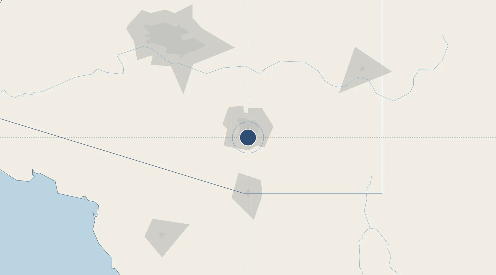
32.1150°, -110.9381°
10,996 ft
Longest runway
2
Runways
2,643 ft
Elevation

Runway & Layout

Tucson International Airport runway & taxiway layout
Runway & taxiway layout — OpenStreetMap (ODbL) / OurAirports

Radio Frequencies

ATIS
123.8 MHz
TWR
118.3 MHz
GND
124.4 MHz
CLD
126.65 MHz
CLNC DEL
A/D
119.4 MHz
APP/DEP
POST
39.22 MHz
ANG COMD POST
RDO
122.2 MHz
PRESCOTT RDO
UNIC
122.95 MHz
UNICOM
OurAirports

Runways · 2

RunwayDimensions SurfaceTrue headingLit
12/30 10,996 × 150ft Asphalt 135°
04/22 7,000 × 150ft Asphalt 045°
OurAirports

Airport Specifications

IATA code
TUS
OurAirports
ICAO code
KTUS
OurAirports
Airport class
Large airport
OurAirports
Scheduled service
Yes
OurAirports
Runway surface
Asphalt
OurAirports
Served city
Tucson
OurAirports

Location

Location of KTUS
Natural Earth 10m (public domain) · Arizona · KTUS · 32.12, -110.94GoogleOSMYandex

Nearby Logistics Neighbours

Airports
  1. 1Davis Monthan Air Force Base8 km
  2. 2Nogales International Airport78 km
  3. 3Sierra Vista Municipal Airport / Libby Army Air Field81 km
  4. 4Nogales International Airport99 km
  5. 5Bisbee Douglas International Airport145 km
Nearest neighbours — logibook spatial index (haversine) over the source coordinates
Cities
  1. 1South Tucson8 km
  2. 2Tucson9 km
  3. 3Tucson International Apt9 km
  4. 4Sahuarita18 km
  5. 5Vail22 km
Nearest neighbours — logibook spatial index (haversine) over the source coordinates
Ports
  1. 1Guaymas467 km
  2. 2Ensenada538 km
  3. 3Santa Rosalia547 km
  4. 4Isla San Marcos560 km
  5. 5Rosarito580 km
Nearest neighbours — logibook spatial index (haversine) over the source coordinates
Trade Zones
  1. 1FTZ No. 174 Pima County19 km
  2. 2FTZ No. 060 Nogales85 km
  3. 3FTZ No. 139 Sierra Vista87 km
  4. 4FTZ No. 221 Mesa167 km
  5. 5FTZ No. 075 Phoenix183 km
Nearest neighbours — logibook spatial index (haversine) over the source coordinates
DatabookThe Record of Consolidated Knowledge
United States beyond logistics?
Browse databook

All Sources

AirportsOurAirports
Public domain
Portsthe NGA World Port Index
Public domain (US gov)
LocationsUN/LOCODE
UN/LOCODE — free
Trade Zonesthe World Bank SEZ database
CC BY 4.0
Trade ZonesOpen Zone Map
CC BY
InfrastructureOpenStreetMap
ODbL 1.0
← United States airports