Transport Functions
Rail
Road
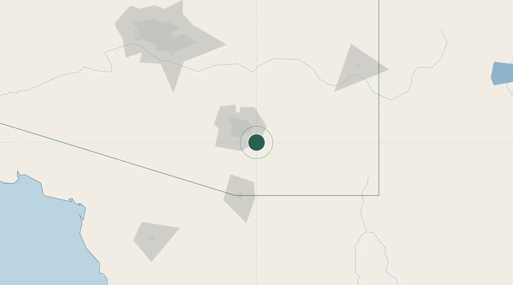
Hub Profile
Place type
Populated place
Region
Arizona
Population
10,208
Time zone
America/Phoenix
Elevation
986 m
Location
Nearby Logistics Neighbours
Cities
- 1Tucson International Apt15 km
- 2Tucson15 km
- 3Sahuarita25 km
- 4South Tucson28 km
- 5Green Valley32 km
Ports
- 1Guaymas460 km
- 2Santa Rosalia546 km
- 3Isla San Marcos557 km
- 4Ensenada559 km
- 5Rosarito602 km
Airports
Trade Zones
- 1FTZ No. 174 Pima County34 km
- 2FTZ No. 139 Sierra Vista68 km
- 3FTZ No. 060 Nogales81 km
- 4FTZ No. 221 Mesa184 km
- 5FTZ No. 075 Phoenix201 km
DatabookThe Record of Consolidated Knowledge
United States beyond logistics?