UN/LOCODE hub · United States
USEV5
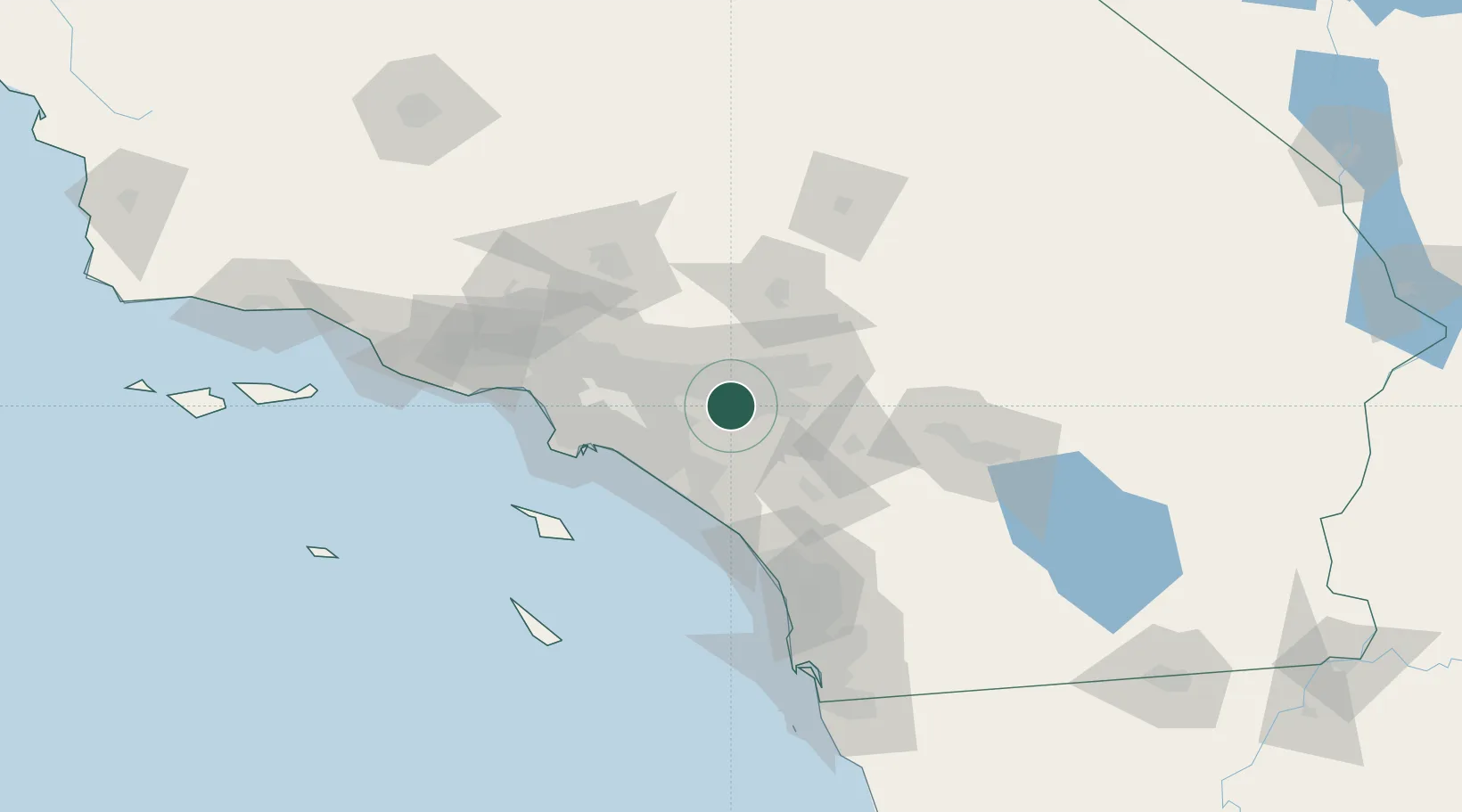
Eastvale
33.9500°, -117.5500°
59,039
Population
2
Transport functions
Transport Functions
Road
Multimodal
Hub Profile
Place type
Populated place
Region
California
Population
59,039
Time zone
America/Los_Angeles
Elevation
191 m
Location
Nearby Logistics Neighbours
Cities
- 1Kaiser12 km
- 2Rubidoux14 km
- 3Etiwanda19 km
- 4Alta Loma19 km
- 5Bloomington19 km
Ports
- 1Newport Beach49 km
- 2Long Beach62 km
- 3Los Angeles68 km
- 4El Segundo82 km
- 5Avalon97 km
Airports
Trade Zones
- 1FTZ No. 244 Riverside County24 km
- 2FTZ No. 050 Long Beach56 km
- 3FTZ No. 202 Los Angeles72 km
- 4FTZ No. 243 Victorville73 km
- 5FTZ No. 191 Palmdale87 km
DatabookThe Record of Consolidated Knowledge
United States beyond logistics?