Transport Functions
Rail
Road
Hub Profile
Place type
Provincial seat
Region
Alabama
Population
6,615
Time zone
America/Chicago
Elevation
262 m
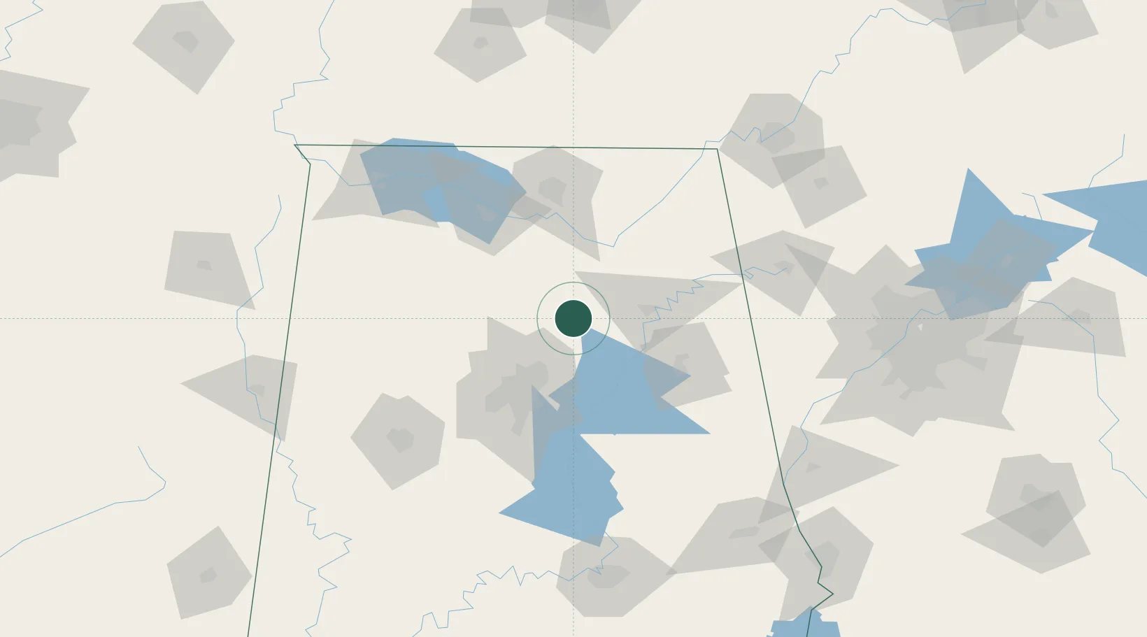
Location
Nearby Logistics Neighbours
Cities
- 1Cleveland9 km
- 2Garden City26 km
- 3Steele28 km
- 4Odenville31 km
- 5Warrior34 km
Ports
- 1Port Of Memphis360 km
- 2Mobile394 km
- 3Pensacola401 km
- 4Panama City432 km
- 5Pascagoula446 km
Airports
Trade Zones
DatabookThe Record of Consolidated Knowledge
United States beyond logistics?