Transport Functions
Rail
Road
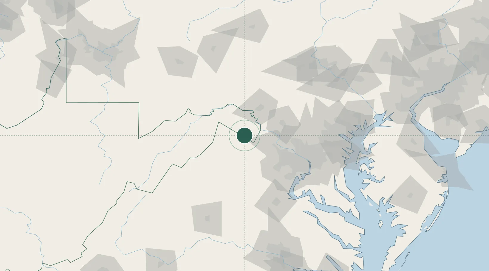
Hub Profile
Place type
Populated place
Region
West Virginia
Time zone
America/New_York
Elevation
192 m
Logistics facilities
1
Location
Nearby Logistics Neighbours
Cities
- 1Halltown16 km
- 2Boyce19 km
- 3Harpers Ferry20 km
- 4Millwood21 km
- 5Purcellville26 km
Ports
- 1Washington D.C.91 km
- 2Alexandria95 km
- 3Fredericksburg115 km
- 4Baltimore119 km
- 5Annapolis131 km
Airports
Trade Zones
DatabookThe Record of Consolidated Knowledge
United States beyond logistics?