Medium airport · United States

Eastern WV Regional Airport/Shepherd FieldKMRB
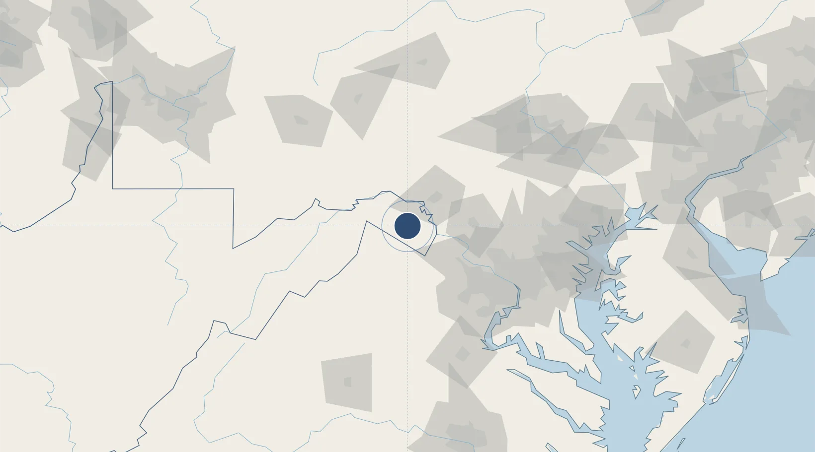
39.4019°, -77.9846°
8,815 ft
Longest runway
1
Runways
565 ft
Elevation

Runway & Layout

Eastern WV Regional Airport/Shepherd Field runway & taxiway layout
Runway & taxiway layout — OpenStreetMap (ODbL) / OurAirports

Radio Frequencies

ASOS
119.925 MHz
TWR
124.3 MHz
MARTINSBURG TWR
GND
121.8 MHz
CLD
132.075 MHz
POTOMAC CLNC DEL
CTAF
124.3 MHz
A/D
126.1 MHz
POTOMAC APP/DEP
POST
29.7 MHz
PIKESIDE CON ANG
RDO
122.45 MHz
ELKINS RDO
UNIC
122.95 MHz
UNICOM
OurAirports

Navaids

MRB VORTAC Martinsburg 112.10 MHz
OurAirports

Runways · 1

RunwayDimensions SurfaceTrue headingLit
08/26 8,815 × 150ft Asphalt 071°
OurAirports

Airport Specifications

IATA code
MRB
OurAirports
ICAO code
KMRB
OurAirports
Airport class
Medium airport
OurAirports
Scheduled service
No
OurAirports
Runway surface
Asphalt
OurAirports
Served city
Martinsburg
OurAirports

Location

Location of KMRB
Natural Earth 10m (public domain) · West Virginia · KMRB · 39.40, -77.98GoogleOSMYandex

Nearby Logistics Neighbours

Cities
  1. 1Summit Point17 km
  2. 2Halltown19 km
  3. 3Harpers Ferry22 km
  4. 4Gore33 km
  5. 5Lovettsville34 km
Nearest neighbours — logibook spatial index (haversine) over the source coordinates
Ports
  1. 1Washington D.C.101 km
  2. 2Alexandria106 km
  3. 3Baltimore121 km
  4. 4Fredericksburg131 km
  5. 5Annapolis138 km
Nearest neighbours — logibook spatial index (haversine) over the source coordinates
Trade Zones
  1. 1FTZ No. 240 Martinsburg7 km
  2. 2FTZ No. 137 Washington Dulles International Airport67 km
  3. 3FTZ No. 063 PrInce Georges County95 km
  4. 4FTZ No. 185 Culpeper County100 km
  5. 5FTZ No. 073 BWI Airport116 km
Nearest neighbours — logibook spatial index (haversine) over the source coordinates
DatabookThe Record of Consolidated Knowledge
United States beyond logistics?
Browse databook

All Sources

AirportsOurAirports
Public domain
Portsthe NGA World Port Index
Public domain (US gov)
LocationsUN/LOCODE
UN/LOCODE — free
Trade Zonesthe World Bank SEZ database
CC BY 4.0
Trade ZonesOpen Zone Map
CC BY
InfrastructureOpenStreetMap
ODbL 1.0
← United States airports