Medium airport · United States

Hagerstown Regional Richard A Henson FieldKHGR
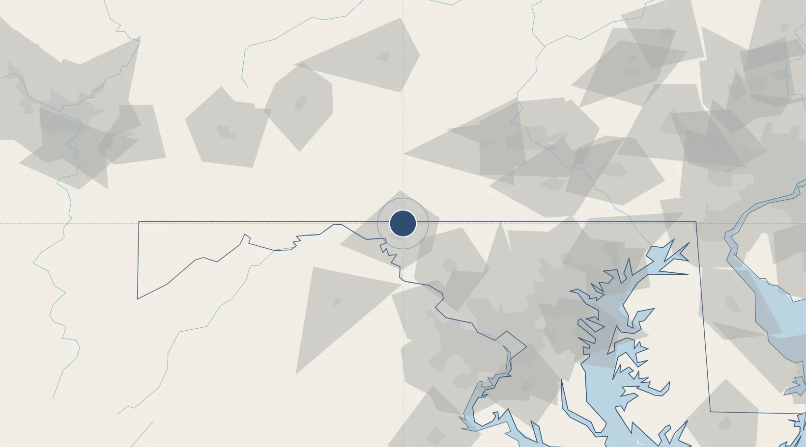
39.7088°, -77.7280°
7,000 ft
Longest runway
2
Runways
703 ft
Elevation

Runway & Layout

Hagerstown Regional Richard A Henson Field runway & taxiway layout
Runway & taxiway layout — OpenStreetMap (ODbL) / OurAirports

Radio Frequencies

ASOS
126.375 MHz
TWR
120.3 MHz
GND
121.9 MHz
CTAF
120.3 MHz
CNTR
134.15 MHz
WASHINGTON CNTR
OPS
32.3 MHz
AR OPS
RDO
109.8 MHz
LEESBURG RDO
UNIC
122.95 MHz
UNICOM
OurAirports

Navaids

HGR VOR Hagerstown 109.80 MHz
OurAirports

Runways · 2

RunwayDimensions SurfaceTrue headingLit
09/27 7,000 × 150ft Asphalt 080°
02/20 3,165 × 100ft Asphalt 015°
OurAirports

Airport Specifications

IATA code
HGR
OurAirports
ICAO code
KHGR
OurAirports
Airport class
Medium airport
OurAirports
Scheduled service
Yes
OurAirports
Runway surface
Asphalt
OurAirports
Served city
Hagerstown
OurAirports

Location

Location of KHGR
Natural Earth 10m (public domain) · Maryland · KHGR · 39.71, -77.73GoogleOSMYandex

Nearby Logistics Neighbours

Airports
  1. 1Eastern WV Regional Airport/Shepherd Field41 km
  2. 2Altoona Blair County Airport83 km
  3. 3Washington Dulles International Airport88 km
  4. 4Harrisburg International Airport98 km
  5. 5Fort Meade Executive Airport108 km
Nearest neighbours — logibook spatial index (haversine) over the source coordinates
Cities
  1. 1Shady Grove10 km
  2. 2Lemasters19 km
  3. 3Saint Thomas24 km
  4. 4Thurmont30 km
  5. 5Middletown35 km
Nearest neighbours — logibook spatial index (haversine) over the source coordinates
Ports
  1. 1Baltimore110 km
  2. 2Washington D.C.111 km
  3. 3Alexandria117 km
  4. 4Annapolis134 km
  5. 5Havre De Grace142 km
Nearest neighbours — logibook spatial index (haversine) over the source coordinates
Trade Zones
  1. 1FTZ No. 240 Martinsburg36 km
  2. 2FTZ No. 137 Washington Dulles International Airport87 km
  3. 3FTZ No. 074 Baltimore108 km
  4. 4FTZ No. 073 BWI Airport109 km
  5. 5FTZ No. 063 PrInce Georges County109 km
Nearest neighbours — logibook spatial index (haversine) over the source coordinates
DatabookThe Record of Consolidated Knowledge
United States beyond logistics?
Browse databook

All Sources

AirportsOurAirports
Public domain
Portsthe NGA World Port Index
Public domain (US gov)
LocationsUN/LOCODE
UN/LOCODE — free
Trade Zonesthe World Bank SEZ database
CC BY 4.0
Trade ZonesOpen Zone Map
CC BY
InfrastructureOpenStreetMap
ODbL 1.0
← United States airports