Transport Functions
Rail
Road
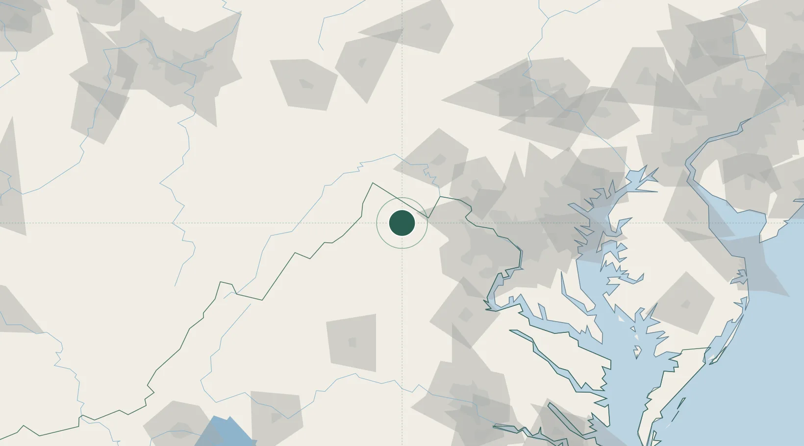
Hub Profile
Place type
Populated place
Region
Virginia
Population
615
Time zone
America/New_York
Elevation
182 m
Location
Nearby Logistics Neighbours
Cities
- 1Millwood5 km
- 2Summit Point19 km
- 3Gore27 km
- 4High View32 km
- 5Purcellville32 km
Ports
- 1Washington D.C.93 km
- 2Alexandria95 km
- 3Fredericksburg104 km
- 4Baltimore129 km
- 5Annapolis137 km
Airports
Trade Zones
DatabookThe Record of Consolidated Knowledge
United States beyond logistics?