UN/LOCODE hub · United States
USHFW
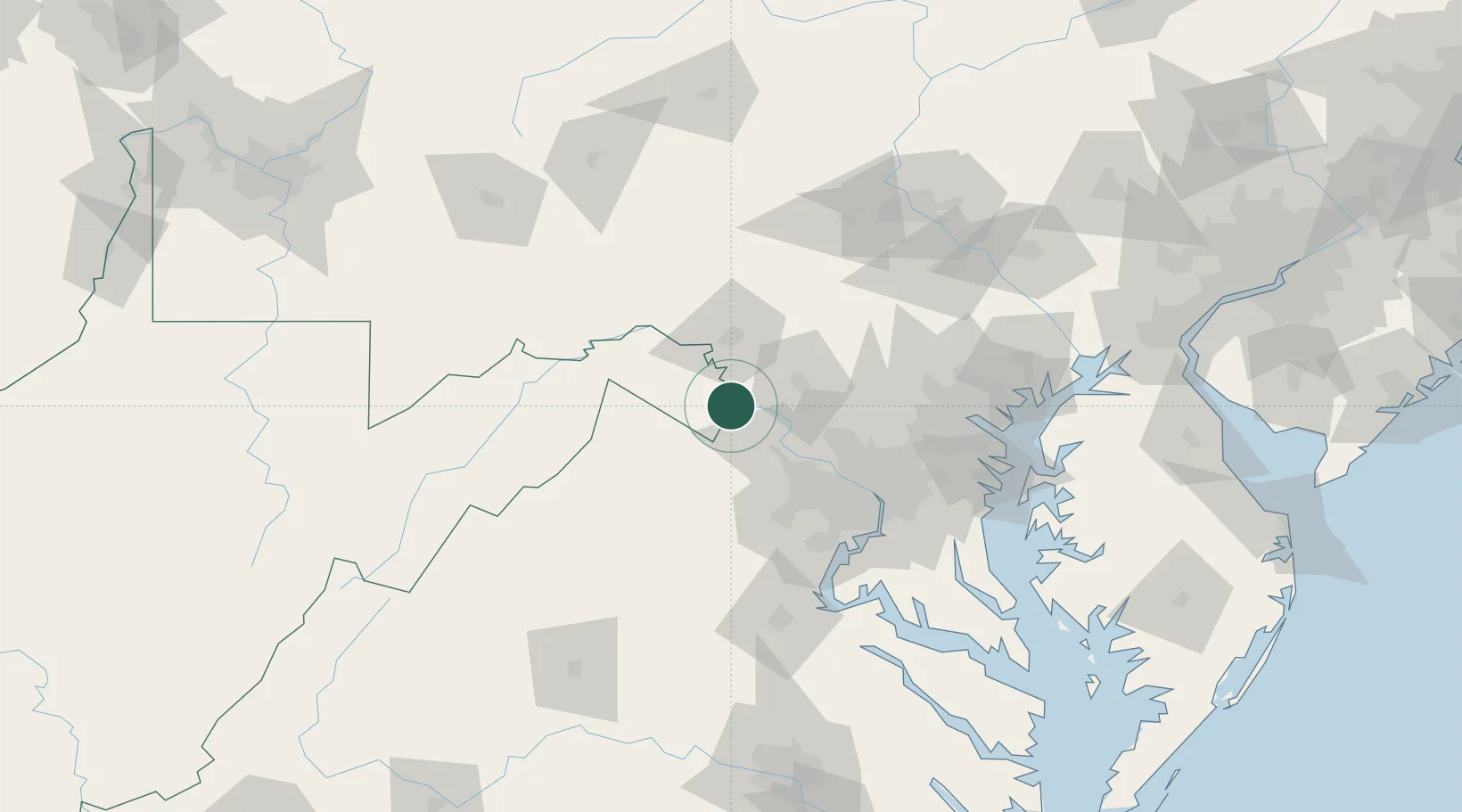
Harpers Ferry
39.3167°, -77.7500°
295
Population
2
Transport functions
Transport Functions
Rail
Road
Hub Profile
Place type
Populated place
Region
West Virginia
Population
295
Time zone
America/New_York
Elevation
149 m
Location
Nearby Logistics Neighbours
Cities
- 1Halltown4 km
- 2Lovettsville12 km
- 3Summit Point20 km
- 4Purcellville21 km
- 5Hamilton22 km
Ports
- 1Washington D.C.80 km
- 2Alexandria84 km
- 3Baltimore101 km
- 4Annapolis115 km
- 5Fredericksburg116 km
Airports
Trade Zones
DatabookThe Record of Consolidated Knowledge
United States beyond logistics?