UN/LOCODE hub · United States
USPUI
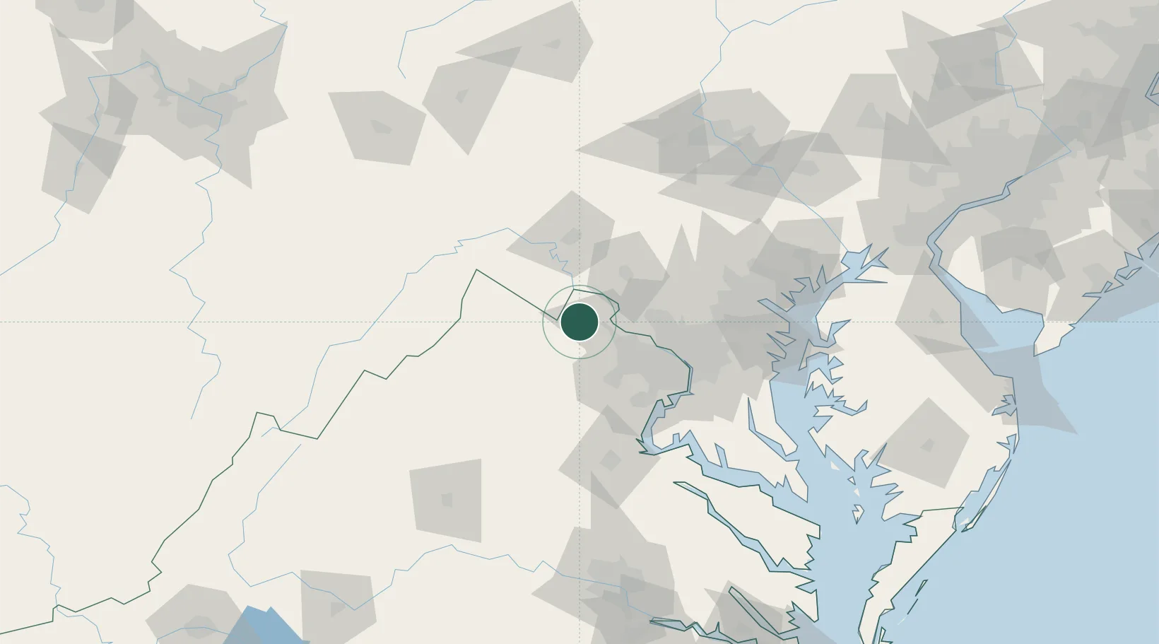
Purcellville
39.1333°, -77.7000°
9,232
Population
2
Transport functions
Transport Functions
Road
Multimodal
Hub Profile
Place type
Populated place
Region
Virginia
Population
9,232
Time zone
America/New_York
Elevation
170 m
Location
Nearby Logistics Neighbours
Cities
- 1Hamilton3 km
- 2Lovettsville16 km
- 3Middleburg19 km
- 4Aldie19 km
- 5Harpers Ferry21 km
Ports
- 1Washington D.C.65 km
- 2Alexandria69 km
- 3Fredericksburg95 km
- 4Baltimore97 km
- 5Annapolis106 km
Airports
Trade Zones
DatabookThe Record of Consolidated Knowledge
United States beyond logistics?