Transport Functions
Rail
Road
Hub Profile
Place type
Populated place
Region
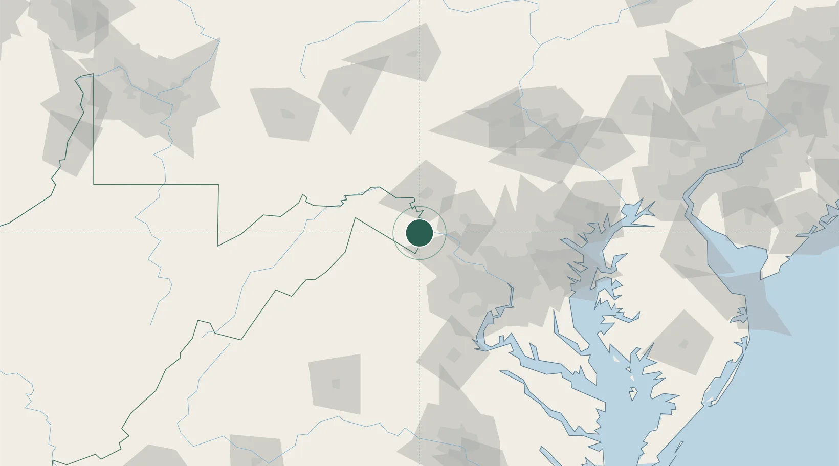
West Virginia
Time zone
America/New_York
Elevation
125 m
Location
Nearby Logistics Neighbours
Cities
- 1Harpers Ferry4 km
- 2Lovettsville15 km
- 3Summit Point16 km
- 4Purcellville22 km
- 5Hamilton23 km
Ports
- 1Washington D.C.83 km
- 2Alexandria88 km
- 3Baltimore105 km
- 4Fredericksburg117 km
- 5Annapolis119 km
Airports
Trade Zones
DatabookThe Record of Consolidated Knowledge
United States beyond logistics?