Transport Functions
Multimodal
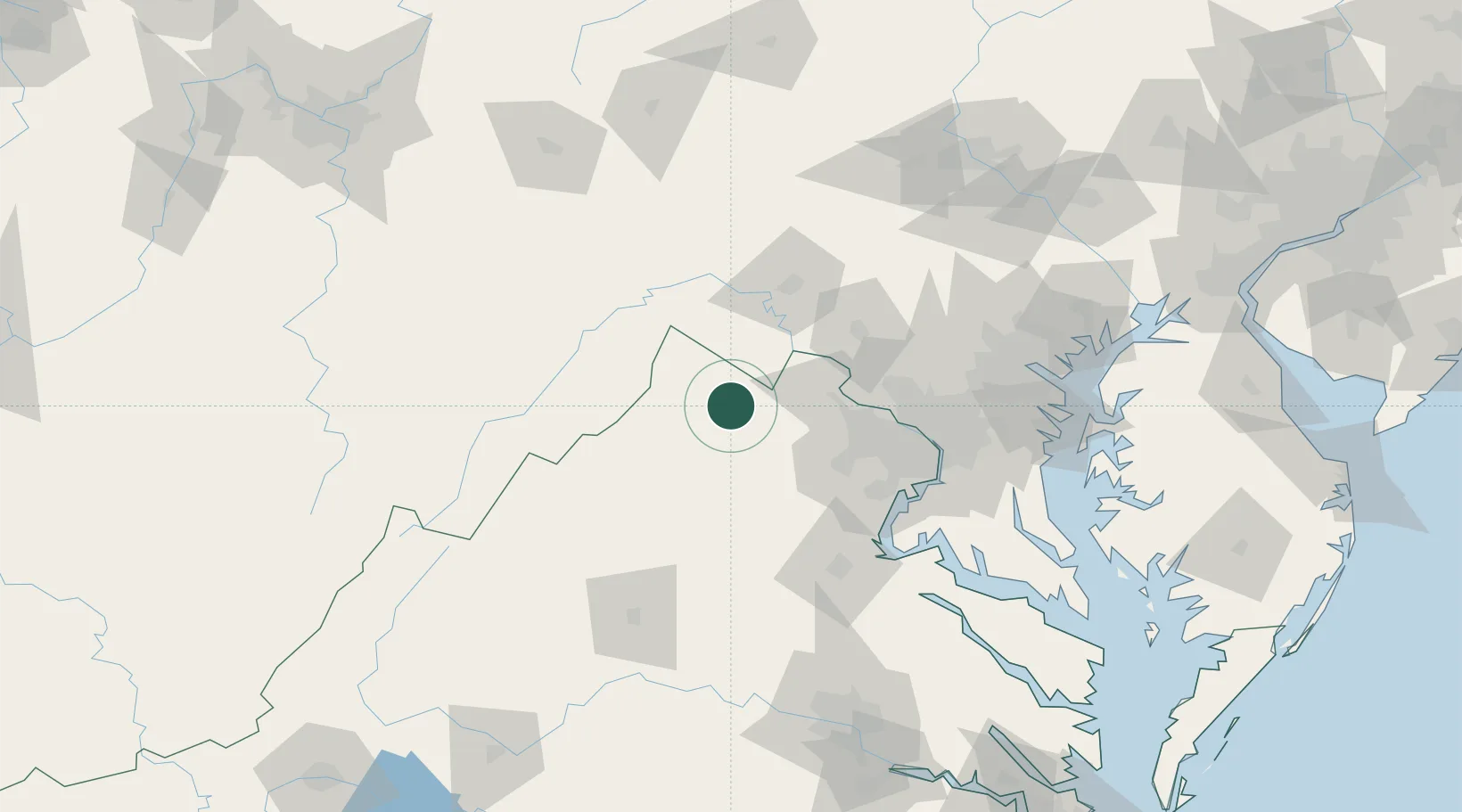
Hub Profile
Place type
Populated place
Region
Virginia
Time zone
America/New_York
Elevation
162 m
Location
Nearby Logistics Neighbours
Cities
- 1Boyce5 km
- 2Summit Point21 km
- 3Middleburg28 km
- 4Purcellville30 km
- 5Gore32 km
Ports
- 1Washington D.C.89 km
- 2Alexandria91 km
- 3Fredericksburg99 km
- 4Baltimore127 km
- 5Annapolis134 km
Airports
Trade Zones
DatabookThe Record of Consolidated Knowledge
United States beyond logistics?