UN/LOCODE hub · United States
USSW5

Swanzey

42.8667°, -72.2833°
7,224
Population
2
Transport functions

Transport Functions

Road
Multimodal
UN/LOCODE

Hub Profile

Place type
Populated place
GeoNames
Region
New Hampshire
GeoNames
Population
7,224
GeoNames
Time zone
America/New_York
GeoNames
Elevation
149 m
GeoNames

Location

Location of USSW5
Natural Earth 10m (public domain) · New Hampshire · USSW5 · 42.87, -72.28GoogleOSMYandex

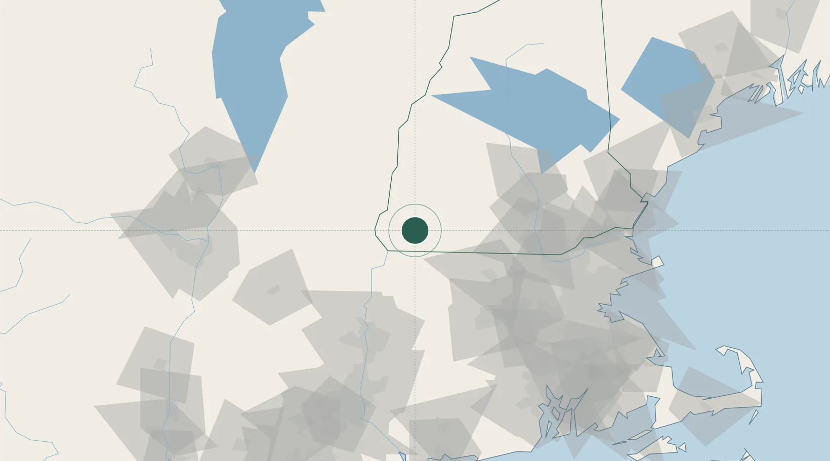
Nearby Logistics Neighbours

Cities
  1. 1West Swanzey3 km
  2. 2Spofford12 km
  3. 3South Barre15 km
  4. 4Chesterfield15 km
  5. 5Fitzwilliam16 km
Nearest neighbours — logibook spatial index (haversine) over the source coordinates
Ports
  1. 1Newburyport116 km
  2. 2Boston116 km
  3. 3Troy117 km
  4. 4Lynn119 km
  5. 5Beverly120 km
Nearest neighbours — logibook spatial index (haversine) over the source coordinates
Airports
  1. 1Dillant Hopkins Airport4 km
  2. 2Manchester-Boston Regional Airport69 km
  3. 3Concord Municipal Airport74 km
  4. 4Worcester Regional Airport75 km
  5. 5Westover Metropolitan Airport / Westover Air Reserve Base78 km
Nearest neighbours — logibook spatial index (haversine) over the source coordinates
Trade Zones
  1. 1FTZ No. 268 Brattleboro26 km
  2. 2FTZ No. 201 Holyoke80 km
  3. 3FTZ No. 071 Windsor Locks108 km
  4. 4FTZ No. 027 Boston114 km
  5. 5FTZ No. 081 Portsmouth119 km
Nearest neighbours — logibook spatial index (haversine) over the source coordinates
DatabookThe Record of Consolidated Knowledge
United States beyond logistics?
Browse databook

All Sources

LocationsUN/LOCODE
UN/LOCODE — free
LocationsGeoNames
CC BY 4.0
Portsthe NGA World Port Index
Public domain (US gov)
AirportsOurAirports
Public domain
Trade Zonesthe World Bank SEZ database
CC BY 4.0
Trade ZonesOpen Zone Map
CC BY
← United States locations