Transport Functions
Road
Multimodal
Hub Profile
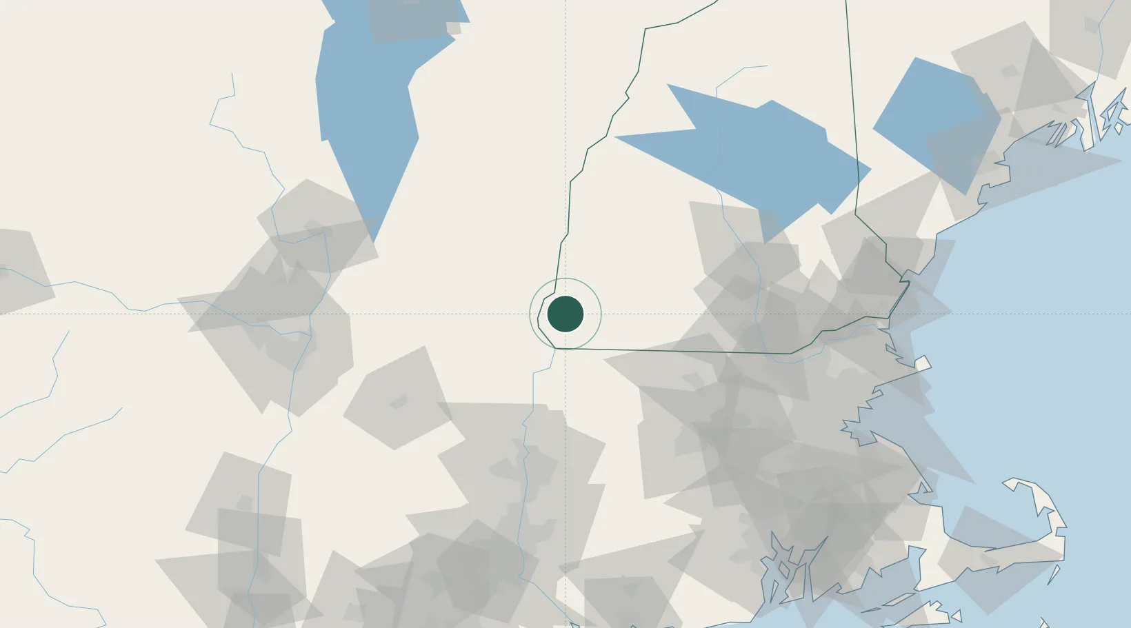
Place type
Populated place
Region
New Hampshire
Time zone
America/New_York
Elevation
210 m
Location
Nearby Logistics Neighbours
Cities
- 1Chesterfield5 km
- 2West Swanzey9 km
- 3Swanzey12 km
- 4Sullivan20 km
- 5South Barre26 km
Ports
- 1Troy106 km
- 2Albany112 km
- 3Rensselaer112 km
- 4Newburyport127 km
- 5Boston127 km
Airports
Trade Zones
- 1FTZ No. 268 Brattleboro16 km
- 2FTZ No. 201 Holyoke79 km
- 3FTZ No. 071 Windsor Locks109 km
- 4FTZ No. 121 Albany116 km
- 5FTZ No. 027 Boston125 km
DatabookThe Record of Consolidated Knowledge
United States beyond logistics?