Channel & Berth Profile
Pilotage, Tugs & Services
Pilotage compulsoryYES
Tug assistanceYES
Potable waterYES
Diesel bunkersYES
Facilities & Capabilities
Container—
Ro-Ro—
Liquid bulk—
Dry bulk—
Oil terminal—
Break bulk—
Dry dock—
RepairsNO
BunkeringYES
Rail linkYES
Dangerous cargo—
ISPS security—
Harbour Specifications
Harbour size
Very Small
Harbour type
Coastal (Natural)
Shelter
Good
Water body
North Atlantic Ocean
Tidal range
2.7 m
Overhead limit
No
Pilotage
Yes
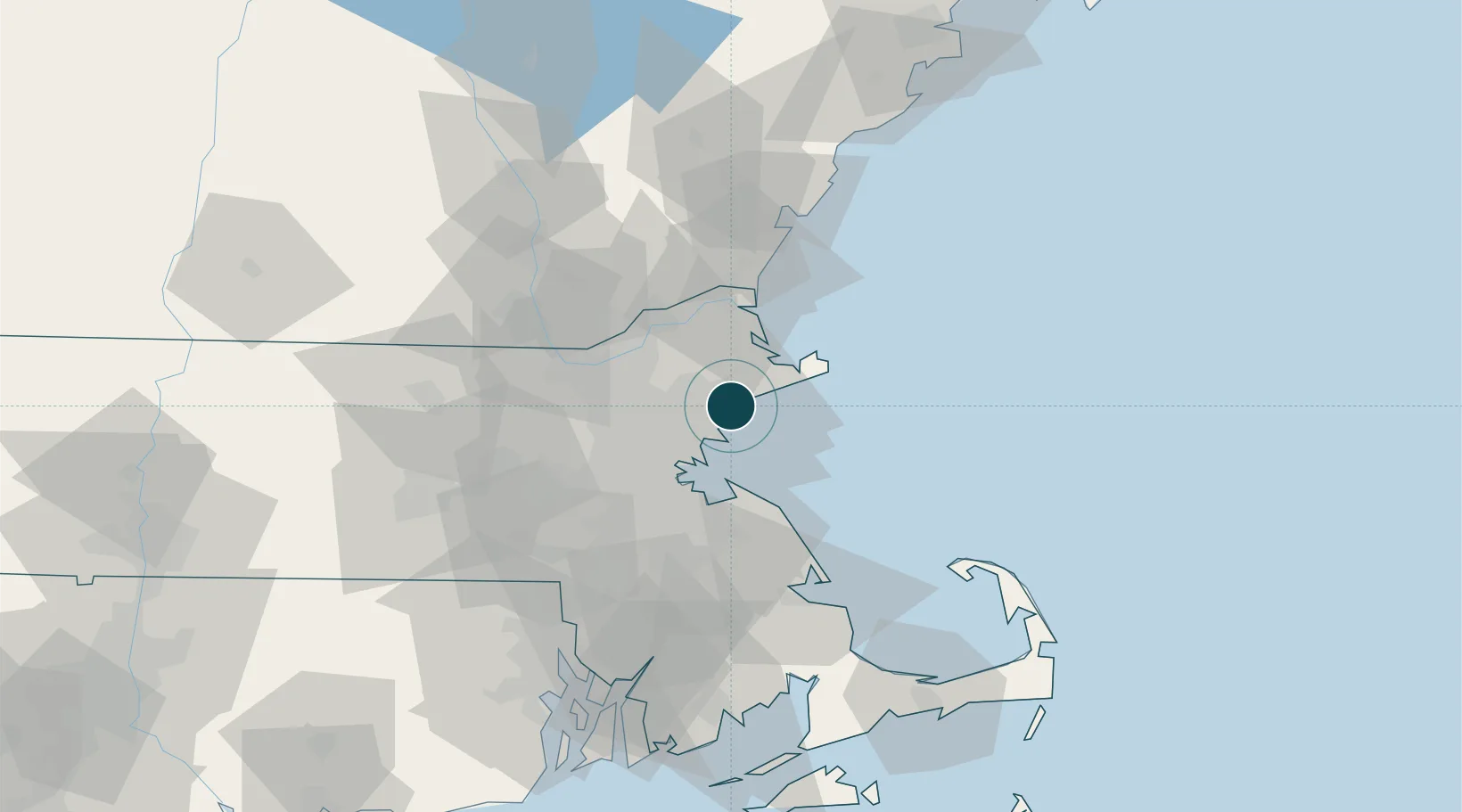
Location
Nearby Logistics Neighbours
Ports
- 1Salem2 km
- 2Marblehead5 km
- 3Lynn11 km
- 4Boston25 km
- 5Rockport26 km
Cities
- 1Marblehead5 km
- 2South Hamilton8 km
- 3Manchester10 km
- 4Lynnfield12 km
- 5Topsfield12 km
Airports
Trade Zones
DatabookThe Record of Consolidated Knowledge
United States beyond logistics?