UN/LOCODE hub · United States
USCFG
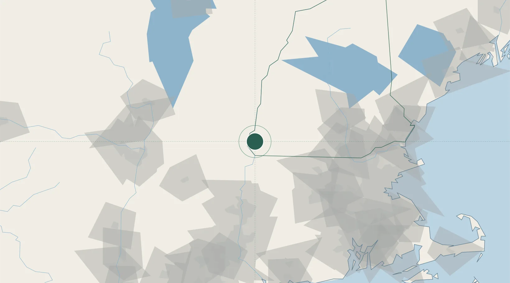
Chesterfield
42.8833°, -72.4667°
3,773
Population
2
Transport functions
Transport Functions
Port
Road
Hub Profile
Place type
Populated place
Region
New Hampshire
Population
3,773
Time zone
America/New_York
Elevation
260 m
Location
Nearby Logistics Neighbours
Cities
- 1Spofford5 km
- 2West Swanzey12 km
- 3Swanzey15 km
- 4Sullivan24 km
- 5Bellows Falls28 km
Ports
- 1Troy102 km
- 2Albany108 km
- 3Rensselaer108 km
- 4Boston130 km
- 5Newburyport131 km
Airports
Trade Zones
- 1FTZ No. 268 Brattleboro11 km
- 2FTZ No. 201 Holyoke76 km
- 3FTZ No. 071 Windsor Locks107 km
- 4FTZ No. 121 Albany112 km
- 5FTZ No. 027 Boston128 km
DatabookThe Record of Consolidated Knowledge
United States beyond logistics?