Transport Functions
Rail
Road
Multimodal
Hub Profile
Place type
Populated place
Region
Massachusetts
Time zone
America/New_York
Elevation
186 m
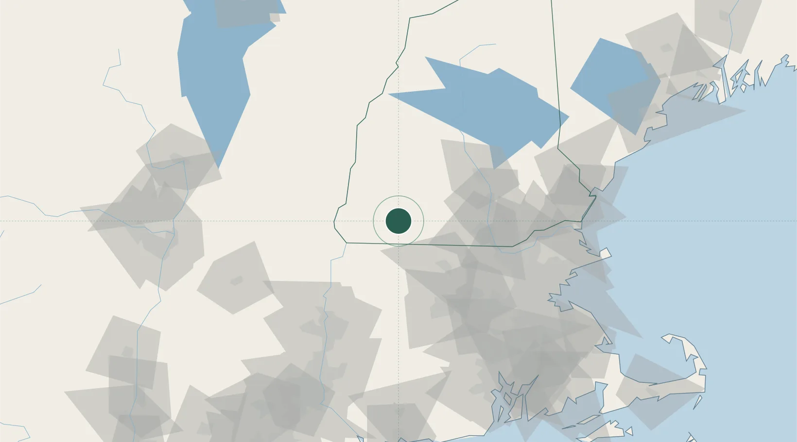
Location
Nearby Logistics Neighbours
Cities
- 1Peterborough12 km
- 2Fitzwilliam14 km
- 3Swanzey15 km
- 4Sullivan16 km
- 5West Swanzey18 km
Ports
- 1Newburyport101 km
- 2Boston104 km
- 3Lynn106 km
- 4Beverly107 km
- 5Salem108 km
Airports
Trade Zones
- 1FTZ No. 268 Brattleboro41 km
- 2FTZ No. 201 Holyoke89 km
- 3FTZ No. 027 Boston103 km
- 4FTZ No. 081 Portsmouth104 km
- 5FTZ No. 071 Windsor Locks115 km
DatabookThe Record of Consolidated Knowledge
United States beyond logistics?