UN/LOCODE hub · United States
USNZY
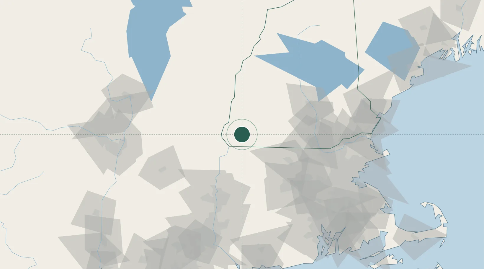
West Swanzey
42.8667°, -72.3167°
1,308
Population
2
Transport functions
Transport Functions
Rail
Road
Hub Profile
Place type
Populated place
Region
New Hampshire
Population
1,308
Time zone
America/New_York
Elevation
156 m
Location
Nearby Logistics Neighbours
Cities
- 1Swanzey3 km
- 2Spofford9 km
- 3Chesterfield12 km
- 4Sullivan17 km
- 5Fitzwilliam18 km
Ports
- 1Troy114 km
- 2Newburyport118 km
- 3Boston119 km
- 4Albany120 km
- 5Rensselaer120 km
Airports
Trade Zones
- 1FTZ No. 268 Brattleboro23 km
- 2FTZ No. 201 Holyoke78 km
- 3FTZ No. 071 Windsor Locks107 km
- 4FTZ No. 027 Boston116 km
- 5FTZ No. 081 Portsmouth122 km
DatabookThe Record of Consolidated Knowledge
United States beyond logistics?