UN/LOCODE hub · United States
USFZW
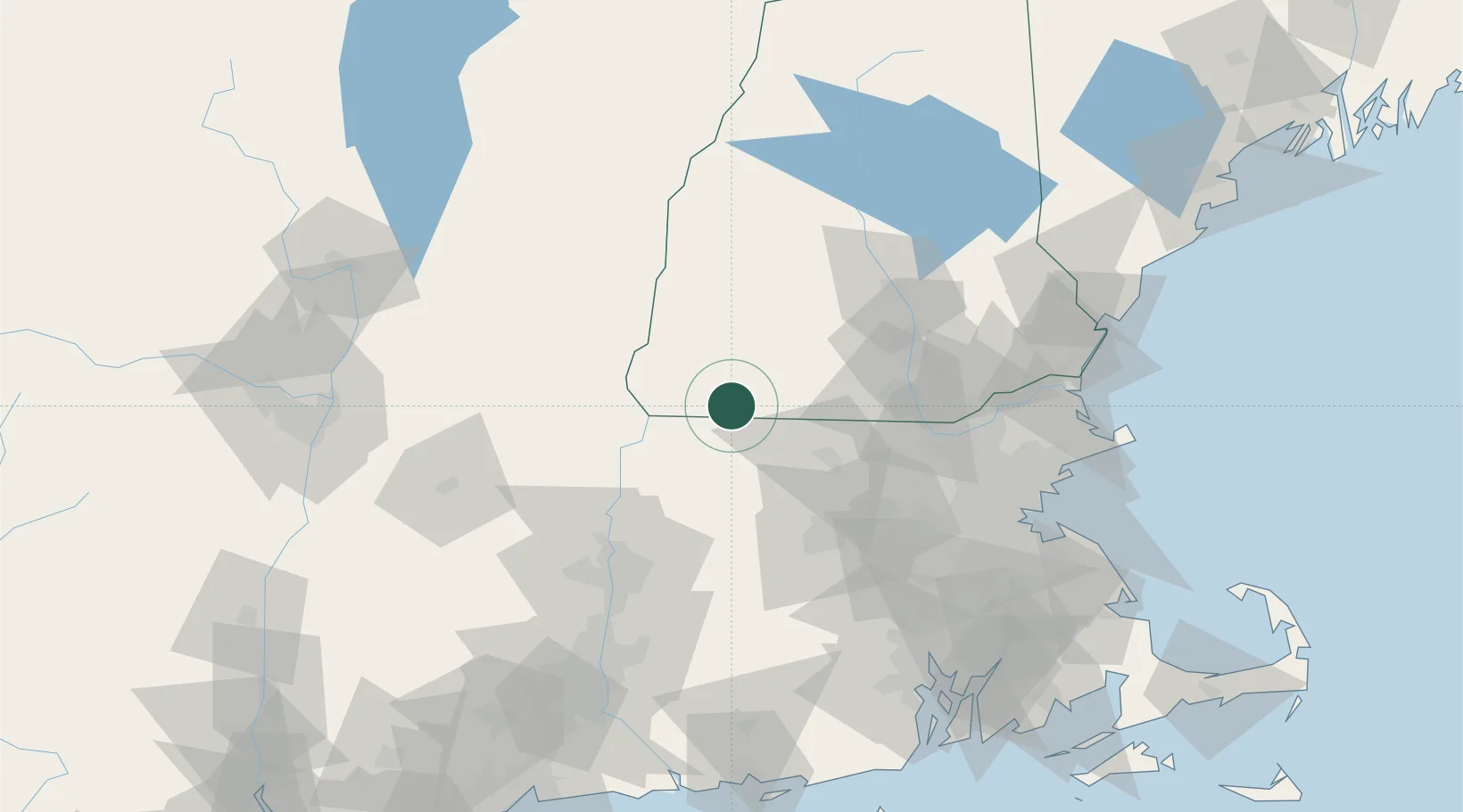
Fitzwilliam
42.7667°, -72.1500°
2,280
Population
2
Transport functions
Transport Functions
Road
Multimodal
Hub Profile
Place type
Populated place
Region
New Hampshire
Population
2,280
Time zone
America/New_York
Elevation
349 m
Location
Nearby Logistics Neighbours
Cities
- 1South Barre14 km
- 2Swanzey16 km
- 3West Swanzey18 km
- 4Peterborough20 km
- 5Orange24 km
Ports
- 1Boston101 km
- 2Lynn104 km
- 3Newburyport105 km
- 4Beverly107 km
- 5Salem107 km
Airports
Trade Zones
- 1FTZ No. 268 Brattleboro38 km
- 2FTZ No. 201 Holyoke76 km
- 3FTZ No. 027 Boston99 km
- 4FTZ No. 071 Windsor Locks101 km
- 5FTZ No. 081 Portsmouth111 km
DatabookThe Record of Consolidated Knowledge
United States beyond logistics?