UN/LOCODE hub · United States
USRXW
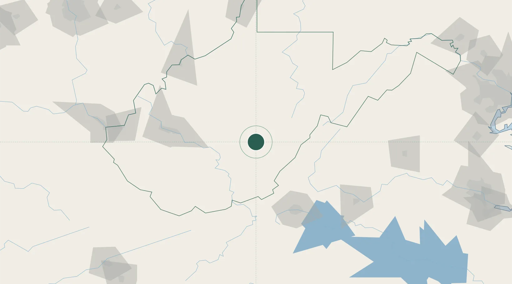
Richwood
38.2167°, -80.5333°
1,980
Population
2
Transport functions
Transport Functions
Rail
Road
Hub Profile
Place type
Populated place
Region
West Virginia
Population
1,980
Time zone
America/New_York
Elevation
673 m
Location
Nearby Logistics Neighbours
Cities
- 1Craigsville17 km
- 2Cowen, Webster21 km
- 3Rainelle35 km
- 4Snowshoe52 km
- 5Salem57 km
Ports
- 1Fredericksburg269 km
- 2Richmond284 km
- 3Alexandria311 km
- 4Washington D.C.313 km
- 5West Point336 km
Airports
Trade Zones
- 1FTZ No. 229 Charleston104 km
- 2FTZ No. 238 Dublin125 km
- 3FTZ No. 185 Culpeper County218 km
- 4FTZ No. 230 Piedmont Triad Area228 km
- 5FTZ No. 033 Pittsburgh250 km
DatabookThe Record of Consolidated Knowledge
United States beyond logistics?