UN/LOCODE hub · United States
USCW2

Cowen, Webster

38.4000°, -80.5667°
2
Transport functions

Transport Functions

Rail
Road
UN/LOCODE

Hub Profile

Region
WV
GeoNames

Location

Location of USCW2
Natural Earth 10m (public domain) · WV · USCW2 · 38.40, -80.57GoogleOSMYandex

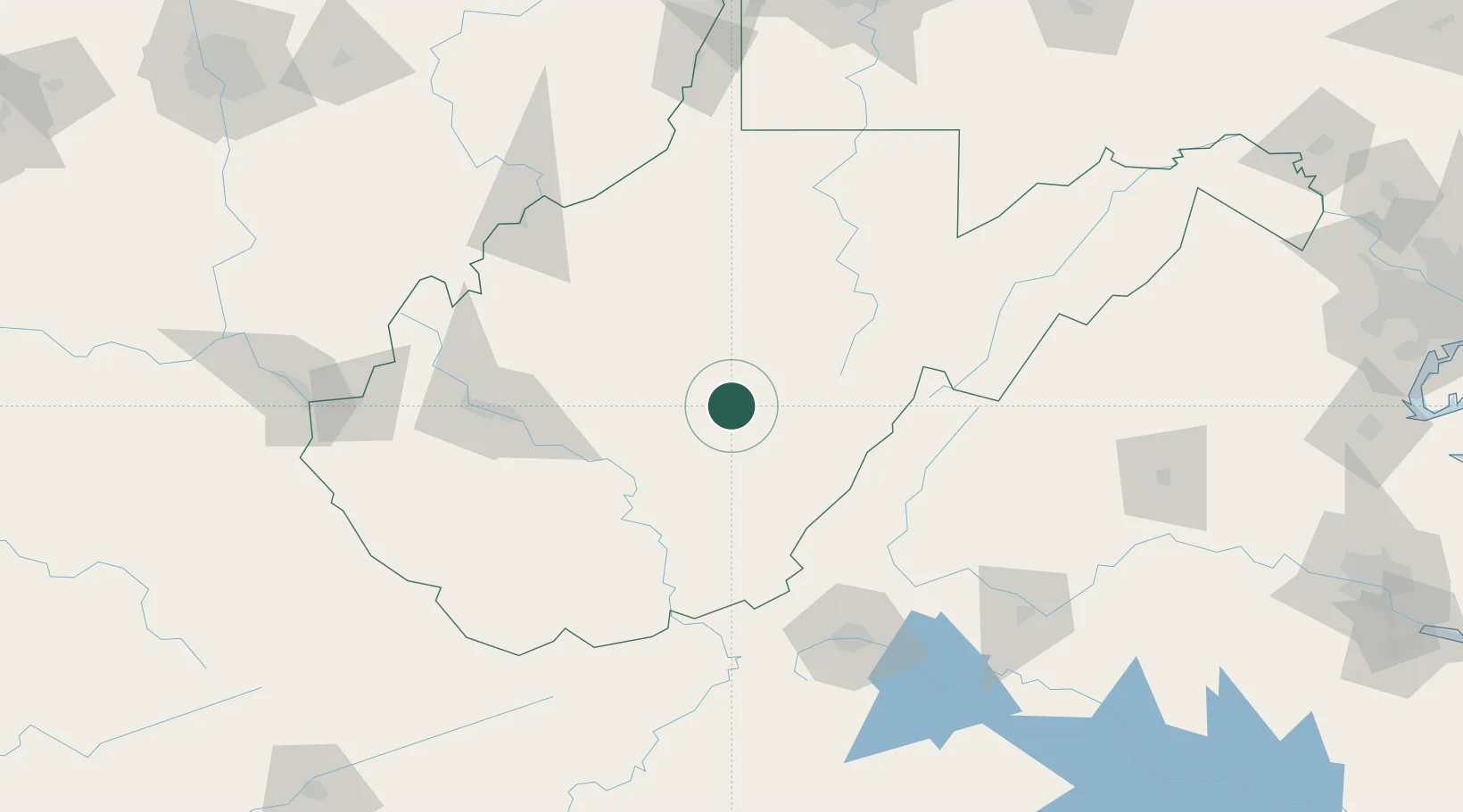
Nearby Logistics Neighbours

Cities
  1. 1Craigsville10 km
  2. 2Richwood21 km
  3. 3Heaters41 km
  4. 4Snowshoe51 km
  5. 5Rainelle51 km
Nearest neighbours — logibook spatial index (haversine) over the source coordinates
Ports
  1. 1Fredericksburg272 km
  2. 2Richmond293 km
  3. 3Alexandria310 km
  4. 4Washington D.C.311 km
  5. 5West Point344 km
Nearest neighbours — logibook spatial index (haversine) over the source coordinates
Airports
  1. 1Greenbrier Valley Airport62 km
  2. 2Elkins-Randolph County Regional Airport82 km
  3. 3Raleigh County Memorial Airport84 km
  4. 4Yeager Airport90 km
  5. 5North Central West Virginia Airport104 km
Nearest neighbours — logibook spatial index (haversine) over the source coordinates
Trade Zones
  1. 1FTZ No. 229 Charleston100 km
  2. 2FTZ No. 238 Dublin145 km
  3. 3FTZ No. 185 Culpeper County218 km
  4. 4FTZ No. 033 Pittsburgh230 km
  5. 5FTZ No. 230 Piedmont Triad Area249 km
Nearest neighbours — logibook spatial index (haversine) over the source coordinates
DatabookThe Record of Consolidated Knowledge
United States beyond logistics?
Browse databook

All Sources

LocationsUN/LOCODE
UN/LOCODE — free
Portsthe NGA World Port Index
Public domain (US gov)
AirportsOurAirports
Public domain
Trade Zonesthe World Bank SEZ database
CC BY 4.0
Trade ZonesOpen Zone Map
CC BY
← United States locations