Transport Functions
Port
Road
Hub Profile
Place type
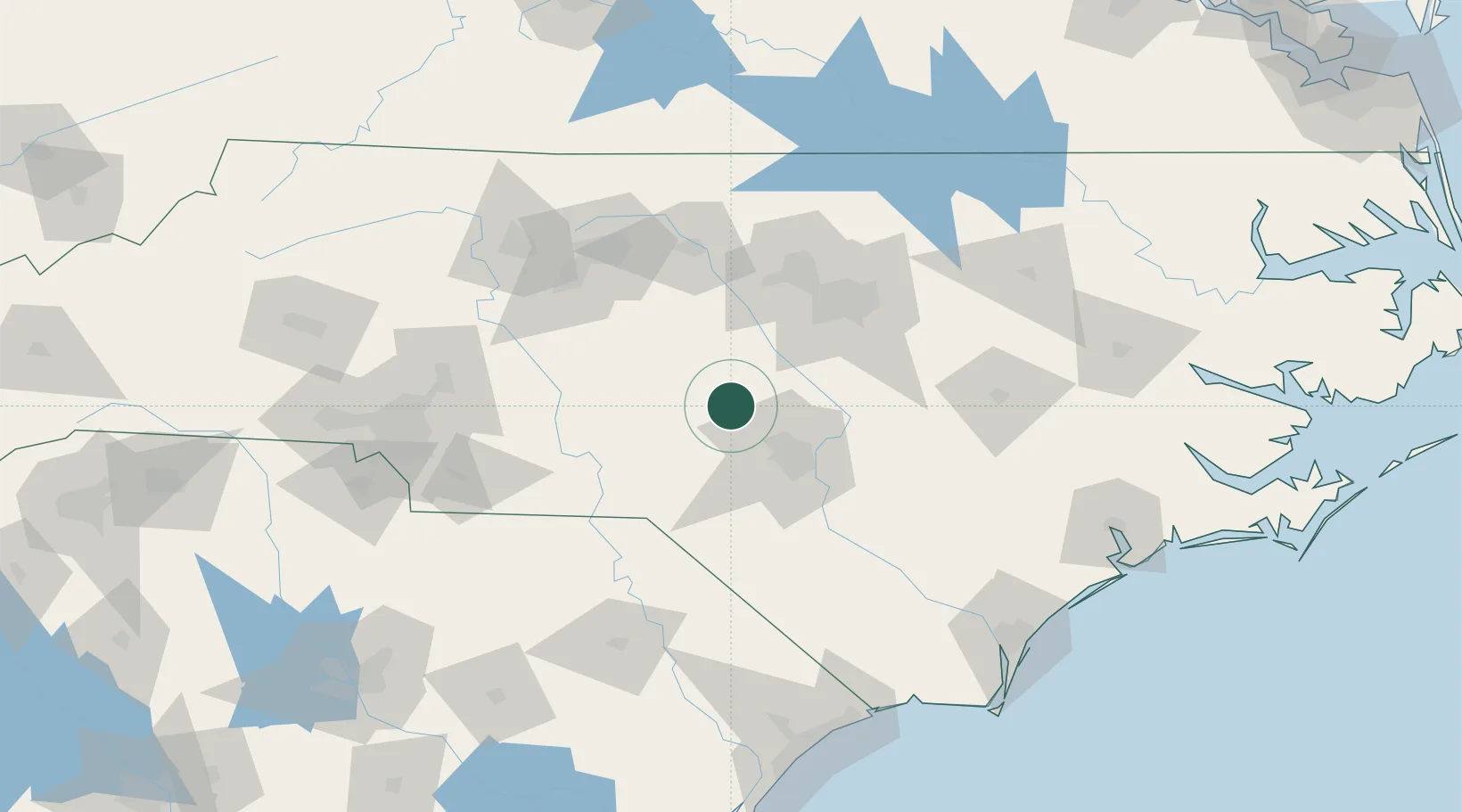
Populated place
Region
North Carolina
Population
295
Time zone
America/New_York
Elevation
109 m
Location
Nearby Logistics Neighbours
Cities
- 1Aberdin27 km
- 2Spring Lake32 km
- 3Pittsboro43 km
- 4New Hill48 km
- 5Biscoe49 km
Ports
- 1Wilmington171 km
- 2Wrightsville180 km
- 3Southport194 km
- 4Washington201 km
- 5New Bern202 km
Airports
Trade Zones
DatabookThe Record of Consolidated Knowledge
United States beyond logistics?