Transport Functions
Rail
Road
Hub Profile
Place type
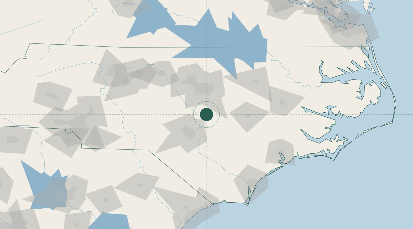
Populated place
Region
North Carolina
Population
2,408
Time zone
America/New_York
Elevation
94 m
Location
Nearby Logistics Neighbours
Cities
- 1Four Oaks23 km
- 2Garner34 km
- 3Spring Lake38 km
- 4New Hill40 km
- 5Pine Level, Johnston40 km
Ports
- 1Wilmington145 km
- 2Washington147 km
- 3New Bern151 km
- 4Wrightsville153 km
- 5Southport175 km
Airports
Trade Zones
- 1FTZ No. 093 Raleigh Durham60 km
- 2FTZ No. 214 Lenoir County73 km
- 3FTZ No. 230 Piedmont Triad Area160 km
- 4FTZ No. 057 Mecklenburg County220 km
- 5FTZ No. 020 Suffolk252 km
DatabookThe Record of Consolidated Knowledge
United States beyond logistics?