UN/LOCODE hub · United States
USAN7

Aberdin

35.1333°, -79.4167°
1
Transport functions

Transport Functions

Multimodal
UN/LOCODE

Hub Profile

Region
NC
GeoNames

Location

Location of USAN7
Natural Earth 10m (public domain) · NC · USAN7 · 35.13, -79.42GoogleOSMYandex

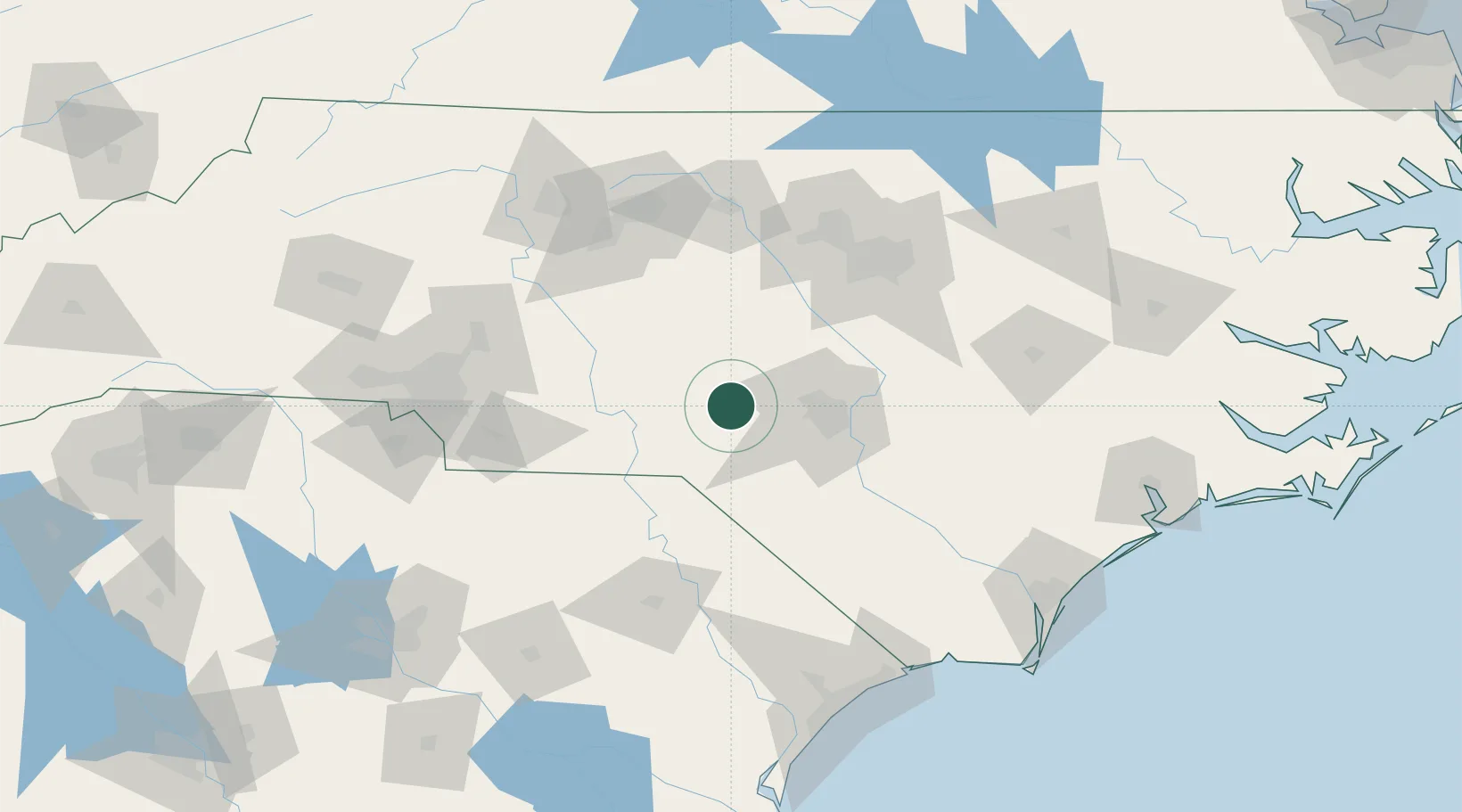
Nearby Logistics Neighbours

Cities
  1. 1Cameron27 km
  2. 2Ellerbe33 km
  3. 3Laurel Hill39 km
  4. 4Spring Lake41 km
  5. 5Biscoe42 km
Nearest neighbours — logibook spatial index (haversine) over the source coordinates
Ports
  1. 1Wilmington167 km
  2. 2Wrightsville178 km
  3. 3Southport186 km
  4. 4Georgetown197 km
  5. 5New Bern215 km
Nearest neighbours — logibook spatial index (haversine) over the source coordinates
Airports
  1. 1Pope Field37 km
  2. 2Simmons Army Air Field44 km
  3. 3Fayetteville Regional Airport - Grannis Field51 km
  4. 4Lumberton Regional Airport67 km
  5. 5Raleigh-Durham International Airport101 km
Nearest neighbours — logibook spatial index (haversine) over the source coordinates
Trade Zones
  1. 1FTZ No. 093 Raleigh Durham98 km
  2. 2FTZ No. 230 Piedmont Triad Area135 km
  3. 3FTZ No. 214 Lenoir County139 km
  4. 4FTZ No. 057 Mecklenburg County152 km
  5. 5FTZ No. 127 West Columbia202 km
Nearest neighbours — logibook spatial index (haversine) over the source coordinates
DatabookThe Record of Consolidated Knowledge
United States beyond logistics?
Browse databook

All Sources

LocationsUN/LOCODE
UN/LOCODE — free
Portsthe NGA World Port Index
Public domain (US gov)
AirportsOurAirports
Public domain
Trade Zonesthe World Bank SEZ database
CC BY 4.0
Trade ZonesOpen Zone Map
CC BY
← United States locations