Medium airport · United States
Sidney Municipal Airport Lloyd W Carr FieldKSNY
41.1013°, -102.9850°
6,600 ft
Longest runway
2
Runways
4,313 ft
Elevation
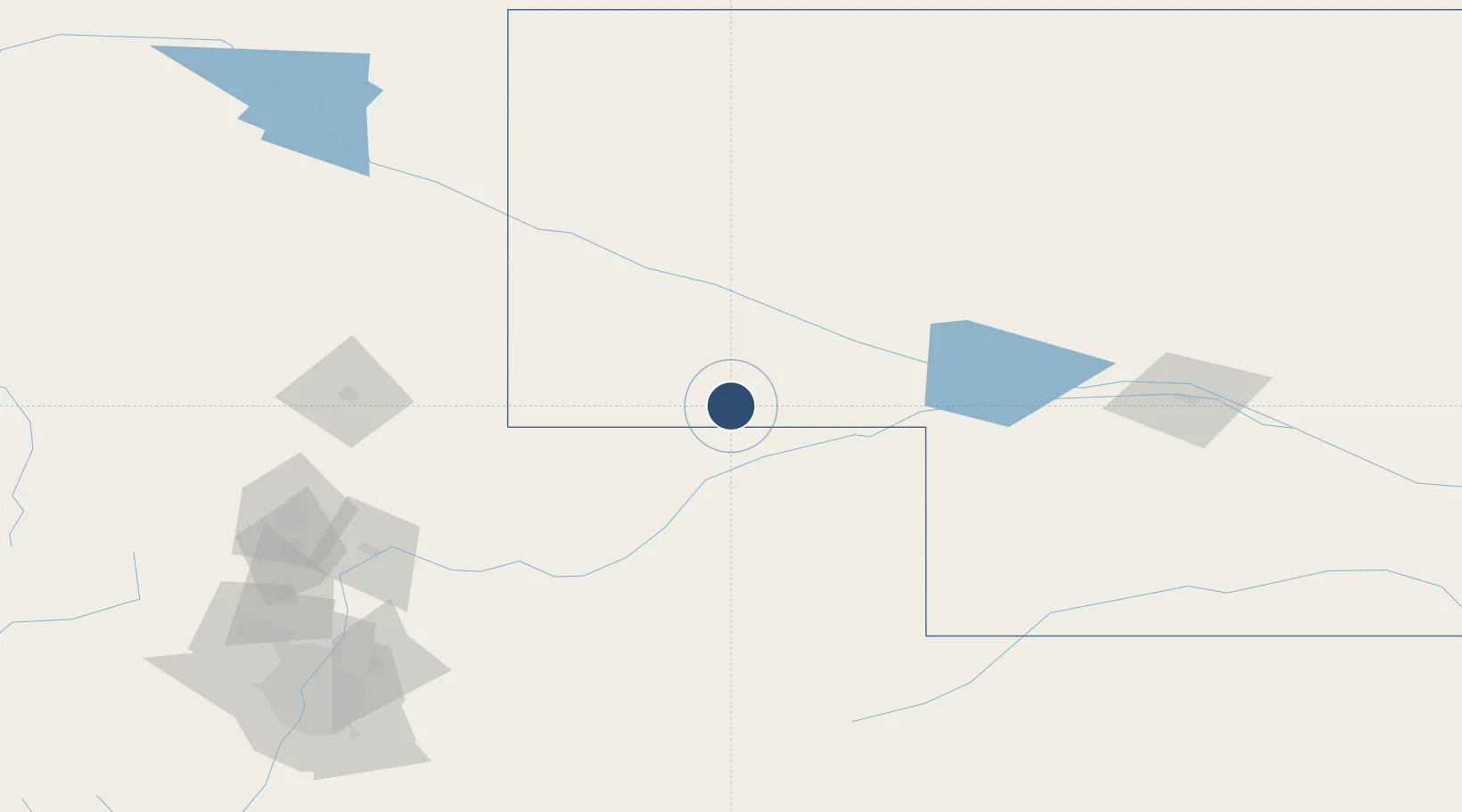
Runway & Layout

Radio Frequencies
ASOS
118.025 MHz
CNTR
118.475 MHz
DENVER CNTR
RDO
122.45 MHz
COLUMBUS RDO
UNIC
122.8 MHz
CTAF/UNICOM
Runways · 2
| Runway | Dimensions | Surface | True heading | Lit |
|---|---|---|---|---|
| 13/31 | 6,600 × 100ft | CONC-G | 135° | — |
| 03/21 | 4,705 × 75ft | TURF-G | 036° | — |
Airport Specifications
IATA code
SNY
ICAO code
KSNY
Airport class
Medium airport
Scheduled service
No
Runway surface
CONC-G
Served city
Sidney
Location
Nearby Logistics Neighbours
Airports
Cities
- 1Pine Bluffs91 km
- 2Albin100 km
- 3Yuma112 km
- 4Lucerne146 km
- 5Roggen156 km
Ports
- 1Duluth1074 km
- 2Superior1074 km
- 3Two Harbors1118 km
- 4Ashland1146 km
- 5Washburn1149 km
Trade Zones
- 1FTZ No. 293 Limon213 km
- 2FTZ No. 123 Denver227 km
- 3FTZ No. 298 Jefferson County238 km
- 4FTZ No. 112 Colorado Springs297 km
- 5FTZ No. 059 Lincoln518 km
DatabookThe Record of Consolidated Knowledge
United States beyond logistics?