Transport Functions
Multimodal
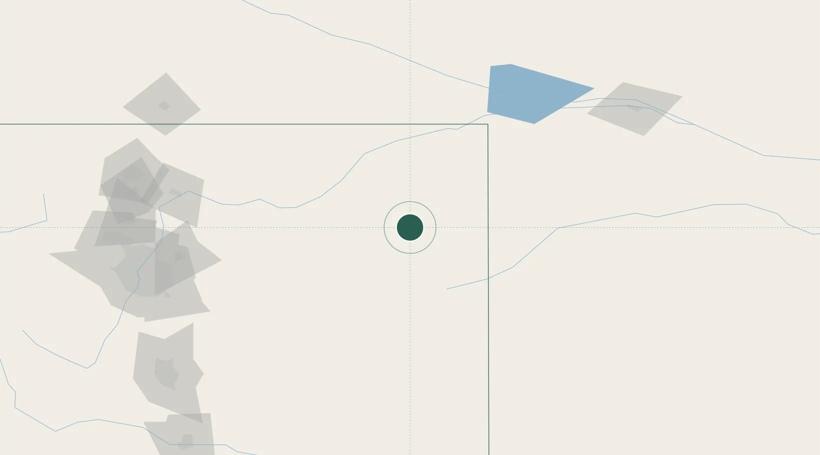
Hub Profile
Place type
Populated place
Region
Colorado
Population
3,596
Time zone
America/Denver
Elevation
1,263 m
Location
Nearby Logistics Neighbours
Cities
- 1Saint Francis87 km
- 2Calhoun90 km
- 3Burlington99 km
- 4Edson134 km
- 5Roggen140 km
Ports
- 1Superior1130 km
- 2Duluth1130 km
- 3Two Harbors1174 km
- 4Ashland1197 km
- 5Washburn1200 km
Airports
Trade Zones
- 1FTZ No. 293 Limon126 km
- 2FTZ No. 123 Denver198 km
- 3FTZ No. 298 Jefferson County212 km
- 4FTZ No. 112 Colorado Springs230 km
- 5FTZ No. 059 Lincoln504 km
DatabookThe Record of Consolidated Knowledge
United States beyond logistics?