Medium airport · United States

North Platte Regional Airport Lee Bird FieldKLBF

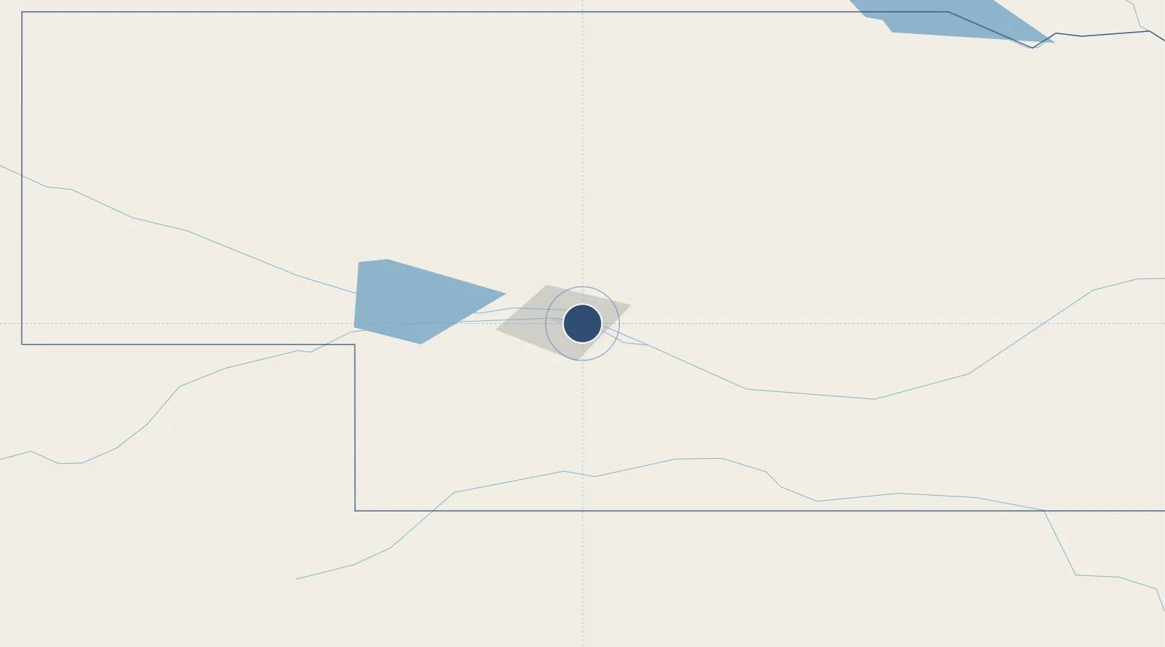
41.1262°, -100.6840°
8,001 ft
Longest runway
2
Runways
2,777 ft
Elevation

Runway & Layout

North Platte Regional Airport Lee Bird Field runway & taxiway layout
Runway & taxiway layout — OpenStreetMap (ODbL) / OurAirports

Radio Frequencies

ASOS
118.425 MHz
CLD
132.7 MHz
CLNC DEL
CNTR
132.7 MHz
DENVER CNTR
RDO
122.5 MHz
COLUMBUS RDO
UNIC
123 MHz
CTAF/UNICOM
OurAirports

Navaids

LBF VORTAC North Platte 117.40 MHz
OurAirports

Runways · 2

RunwayDimensions SurfaceTrue headingLit
12/30 8,001 × 150ft Concrete 126°
17/35 4,436 × 100ft Asphalt 181°
OurAirports

Airport Specifications

IATA code
LBF
OurAirports
ICAO code
KLBF
OurAirports
Airport class
Medium airport
OurAirports
Scheduled service
Yes
OurAirports
Runway surface
Concrete
OurAirports
Served city
North Platte
OurAirports

Location

Location of KLBF
Natural Earth 10m (public domain) · Nebraska · KLBF · 41.13, -100.68GoogleOSMYandex

Nearby Logistics Neighbours

Airports
  1. 1McCook Ben Nelson Regional Airport102 km
  2. 2Kearney Regional Airport148 km
  3. 3Miller Field193 km
  4. 4Sidney Municipal Airport Lloyd W Carr Field193 km
  5. 5Central Nebraska Regional Airport200 km
Nearest neighbours — logibook spatial index (haversine) over the source coordinates
Cities
  1. 1Curtis57 km
  2. 2Cozad66 km
  3. 3Elwood93 km
  4. 4Odessa130 km
  5. 5Loup City145 km
Nearest neighbours — logibook spatial index (haversine) over the source coordinates
Ports
  1. 1Superior929 km
  2. 2Duluth929 km
  3. 3Two Harbors974 km
  4. 4Ashland994 km
  5. 5Washburn997 km
Nearest neighbours — logibook spatial index (haversine) over the source coordinates
Trade Zones
  1. 1FTZ No. 059 Lincoln326 km
  2. 2FTZ No. 293 Limon329 km
  3. 3FTZ No. 133 Quad-Cities, Iowa Illinois384 km
  4. 4FTZ No. 123 Denver396 km
  5. 5FTZ No. 298 Jefferson County408 km
Nearest neighbours — logibook spatial index (haversine) over the source coordinates
DatabookThe Record of Consolidated Knowledge
United States beyond logistics?
Browse databook

All Sources

AirportsOurAirports
Public domain
Portsthe NGA World Port Index
Public domain (US gov)
LocationsUN/LOCODE
UN/LOCODE — free
Trade Zonesthe World Bank SEZ database
CC BY 4.0
Trade ZonesOpen Zone Map
CC BY
InfrastructureOpenStreetMap
ODbL 1.0
← United States airports