Medium airport · United States
Yeager AirportKCRW
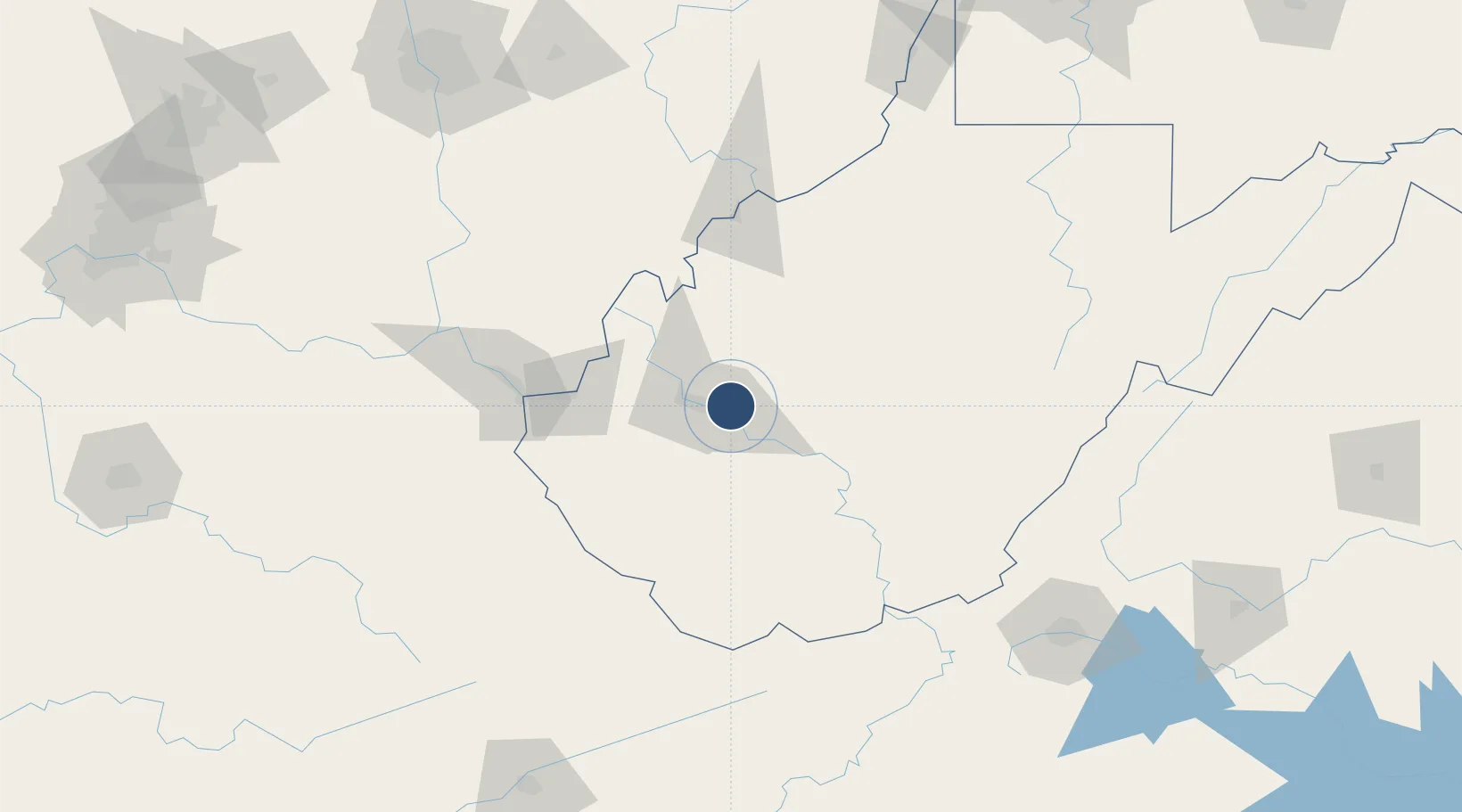
38.3731°, -81.5932°
6,715 ft
Longest runway
1
Runways
981 ft
Elevation
Runway & Layout

Radio Frequencies
ATIS
127.6 MHz
TWR
125.7 MHz
CHARLESTON TWR
GND
121.8 MHz
CLD
118.55 MHz
CLNC DEL
A/D
128.5 MHz
CHARLESTON APP/DEP
POST
30.23 MHz
ANG COMD POST/OPS
RDO
122.2 MHz
ELKINS RDO
UNIC
122.95 MHz
UNICOM
Navaids
HVQ VORTAC Charleston 117.40 MHz
Runways · 1
| Runway | Dimensions | Surface | True heading | Lit |
|---|---|---|---|---|
| 05/23 | 6,715 × 150ft | Asphalt | 047° | ✓ |
Airport Specifications
IATA code
CRW
ICAO code
KCRW
Airport class
Medium airport
Scheduled service
Yes
Runway surface
Asphalt
Served city
Charleston
Location
Nearby Logistics Neighbours
Airports
Cities
- 1Rand12 km
- 2Sissonville16 km
- 3Cross Lanes17 km
- 4Saint Albans20 km
- 5Poca21 km
Trade Zones
- 1FTZ No. 229 Charleston11 km
- 2FTZ No. 238 Dublin162 km
- 3FTZ No. 138 Franklin County198 km
- 4FTZ No. 204 Tri-Cities222 km
- 5FTZ No. 054 Clinton County223 km
DatabookThe Record of Consolidated Knowledge
United States beyond logistics?