UN/LOCODE hub · United States
USGZG
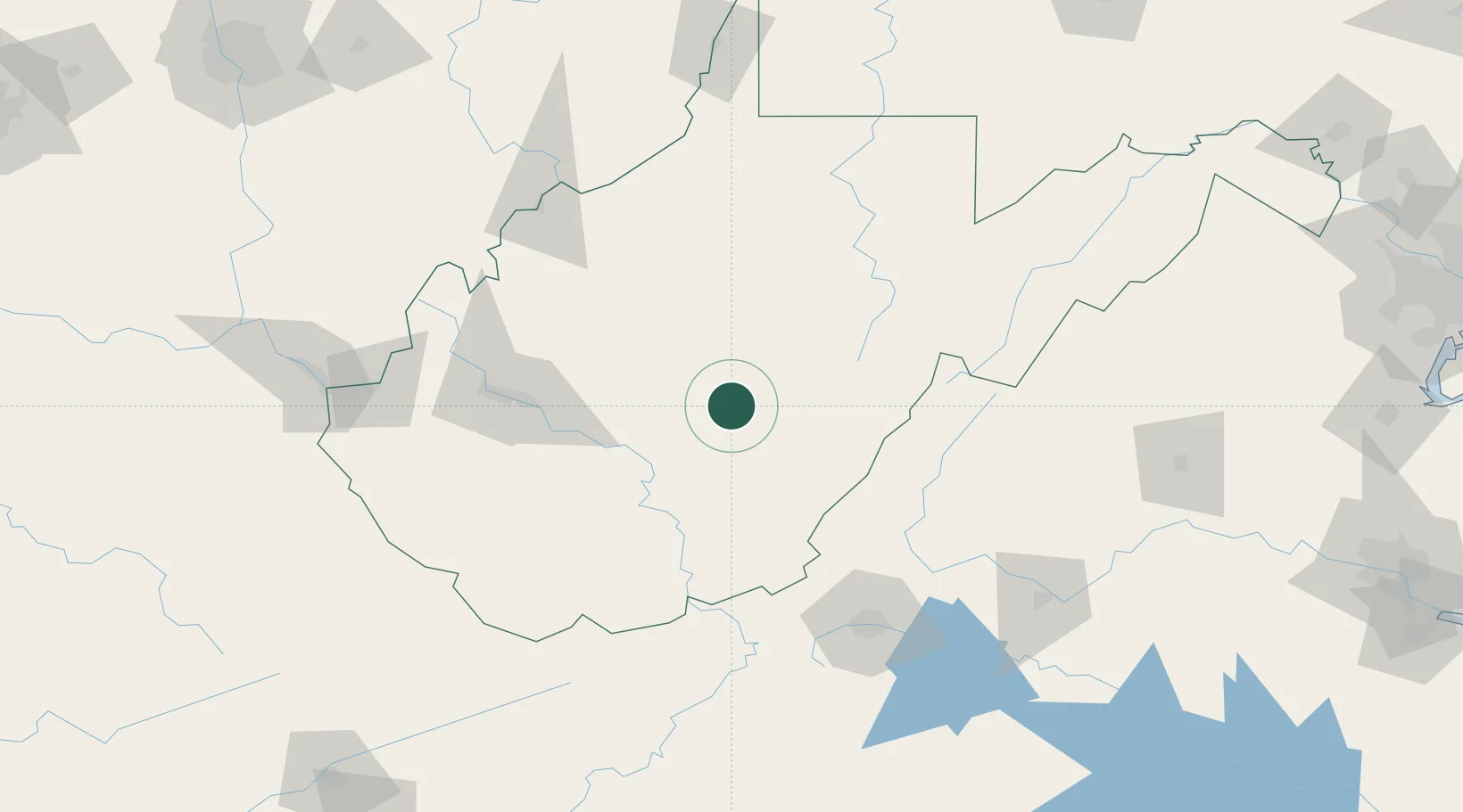
Craigsville
38.3333°, -80.6500°
2,213
Population
2
Transport functions
Transport Functions
Road
Multimodal
Hub Profile
Place type
Populated place
Region
West Virginia
Population
2,213
Time zone
America/New_York
Elevation
705 m
Location
Nearby Logistics Neighbours
Cities
- 1Cowen, Webster10 km
- 2Richwood17 km
- 3Rainelle42 km
- 4Heaters48 km
- 5Salem56 km
Ports
- 1Fredericksburg279 km
- 2Richmond297 km
- 3Alexandria319 km
- 4Washington D.C.320 km
- 5West Point349 km
Airports
Trade Zones
- 1FTZ No. 229 Charleston93 km
- 2FTZ No. 238 Dublin138 km
- 3FTZ No. 185 Culpeper County226 km
- 4FTZ No. 033 Pittsburgh239 km
- 5FTZ No. 230 Piedmont Triad Area242 km
DatabookThe Record of Consolidated Knowledge
United States beyond logistics?