Transport Functions
Road
Multimodal
Hub Profile
Place type
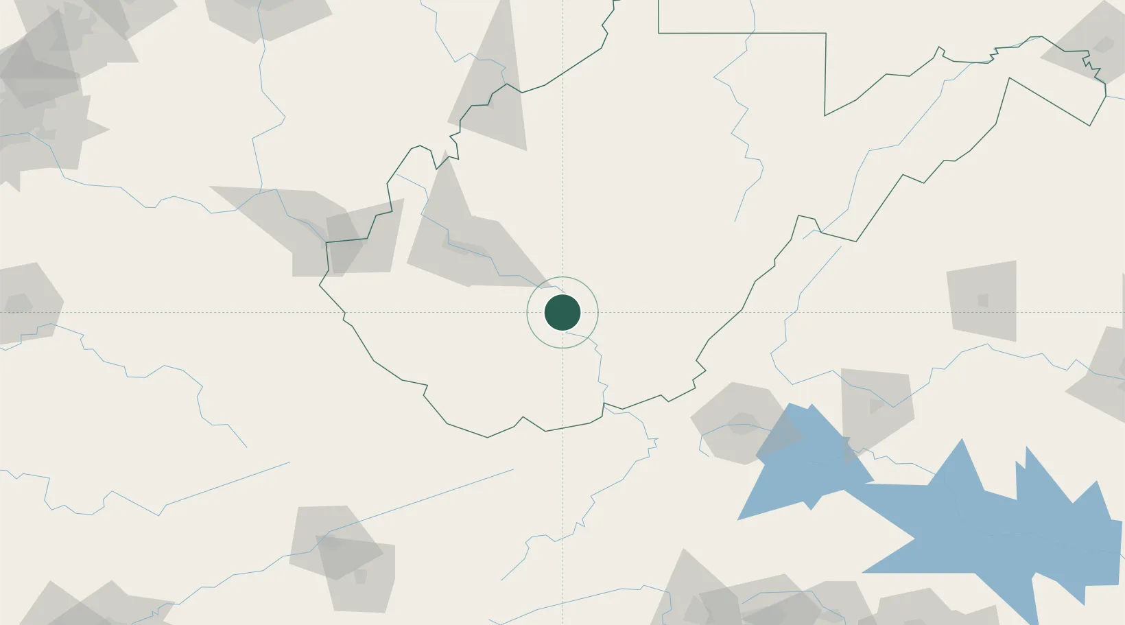
Populated place
Region
West Virginia
Time zone
America/New_York
Elevation
653 m
Location
Nearby Logistics Neighbours
Cities
- 1Pax16 km
- 2Mabscott25 km
- 3Montgomery27 km
- 4Daniels28 km
- 5Rainelle31 km
Ports
- 1Fredericksburg323 km
- 2Richmond329 km
- 3Alexandria367 km
- 4Washington D.C.369 km
- 5West Point383 km
Airports
Trade Zones
- 1FTZ No. 229 Charleston66 km
- 2FTZ No. 238 Dublin105 km
- 3FTZ No. 204 Tri-Cities203 km
- 4FTZ No. 230 Piedmont Triad Area217 km
- 5FTZ No. 138 Franklin County258 km
DatabookThe Record of Consolidated Knowledge
United States beyond logistics?