UN/LOCODE hub · United States
USLLU

Los Lunas

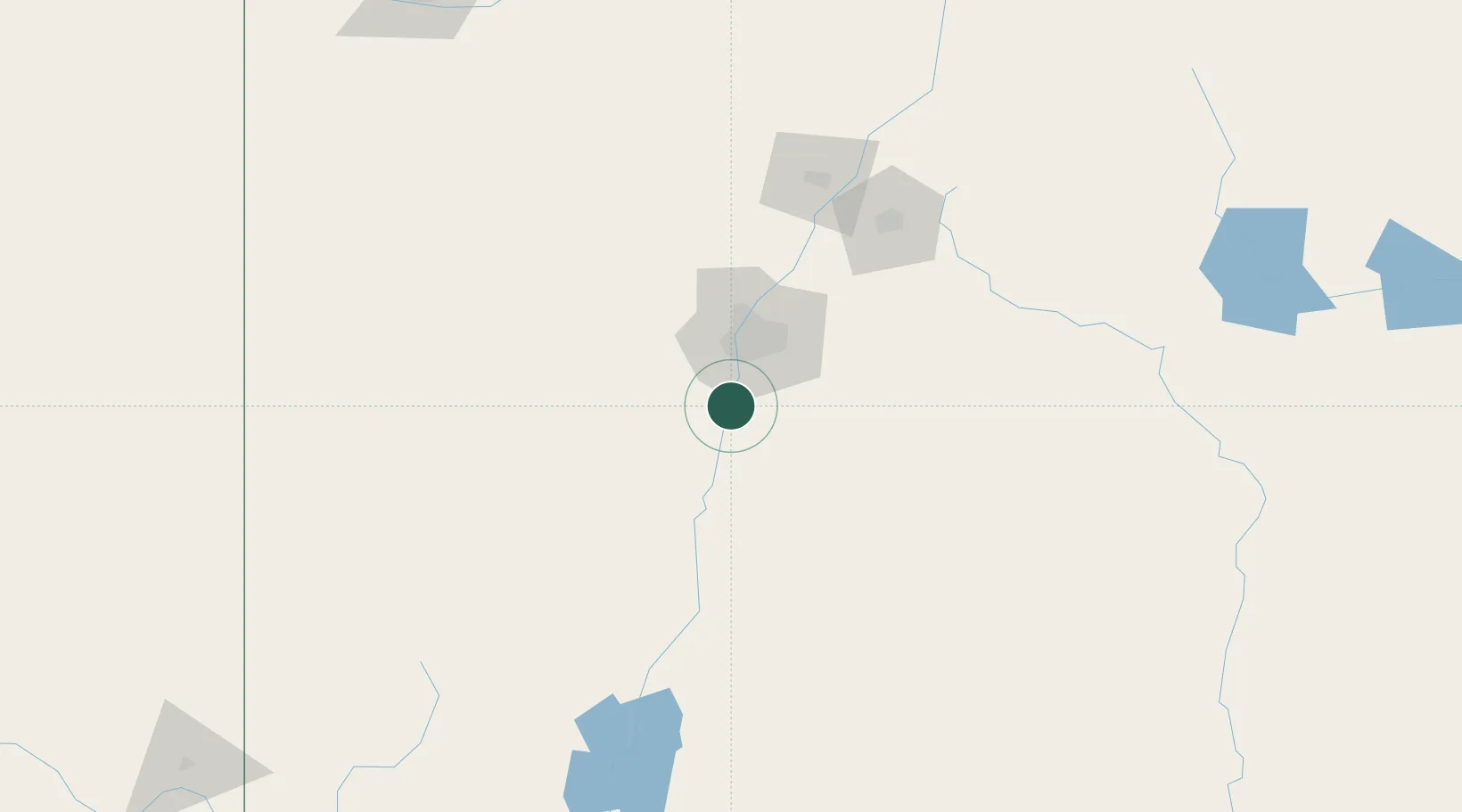
34.8000°, -106.7167°
15,336
Population
2
Transport functions

Transport Functions

Port
Road
UN/LOCODE

Hub Profile

Place type
Provincial seat
GeoNames
Region
New Mexico
GeoNames
Population
15,336
GeoNames
Time zone
America/Denver
GeoNames
Elevation
1,480 m
GeoNames

Location

Location of USLLU
Natural Earth 10m (public domain) · New Mexico · USLLU · 34.80, -106.72GoogleOSMYandex

Nearby Logistics Neighbours

Cities
  1. 1Bosque Farms6 km
  2. 2Dalies13 km
  3. 3Edgewood56 km
  4. 4Bernalillo58 km
  5. 5Moriarty66 km
Nearest neighbours — logibook spatial index (haversine) over the source coordinates
Ports
  1. 1Guaymas863 km
  2. 2Ensenada977 km
  3. 3Santa Rosalia985 km
  4. 4Isla San Marcos990 km
  5. 5San Diego994 km
Nearest neighbours — logibook spatial index (haversine) over the source coordinates
Airports
  1. 1Albuquerque International Sunport28 km
  2. 2Double Eagle II Airport39 km
  3. 3Santa Fe Municipal Airport107 km
  4. 4Las Vegas Municipal Airport172 km
  5. 5Truth or Consequences Municipal Airport181 km
Nearest neighbours — logibook spatial index (haversine) over the source coordinates
Trade Zones
  1. 1FTZ No. 110 Albuquerque33 km
  2. 2FTZ No. 197 Dona Ana County272 km
  3. 3FTZ No. 068 El Paso333 km
  4. 4FTZ No. 150 El Paso333 km
  5. 5FTZ No. 260 Lubbock452 km
Nearest neighbours — logibook spatial index (haversine) over the source coordinates
DatabookThe Record of Consolidated Knowledge
United States beyond logistics?
Browse databook

All Sources

LocationsUN/LOCODE
UN/LOCODE — free
LocationsGeoNames
CC BY 4.0
Portsthe NGA World Port Index
Public domain (US gov)
AirportsOurAirports
Public domain
Trade Zonesthe World Bank SEZ database
CC BY 4.0
Trade ZonesOpen Zone Map
CC BY
← United States locations