UN/LOCODE hub · United States
USRS2
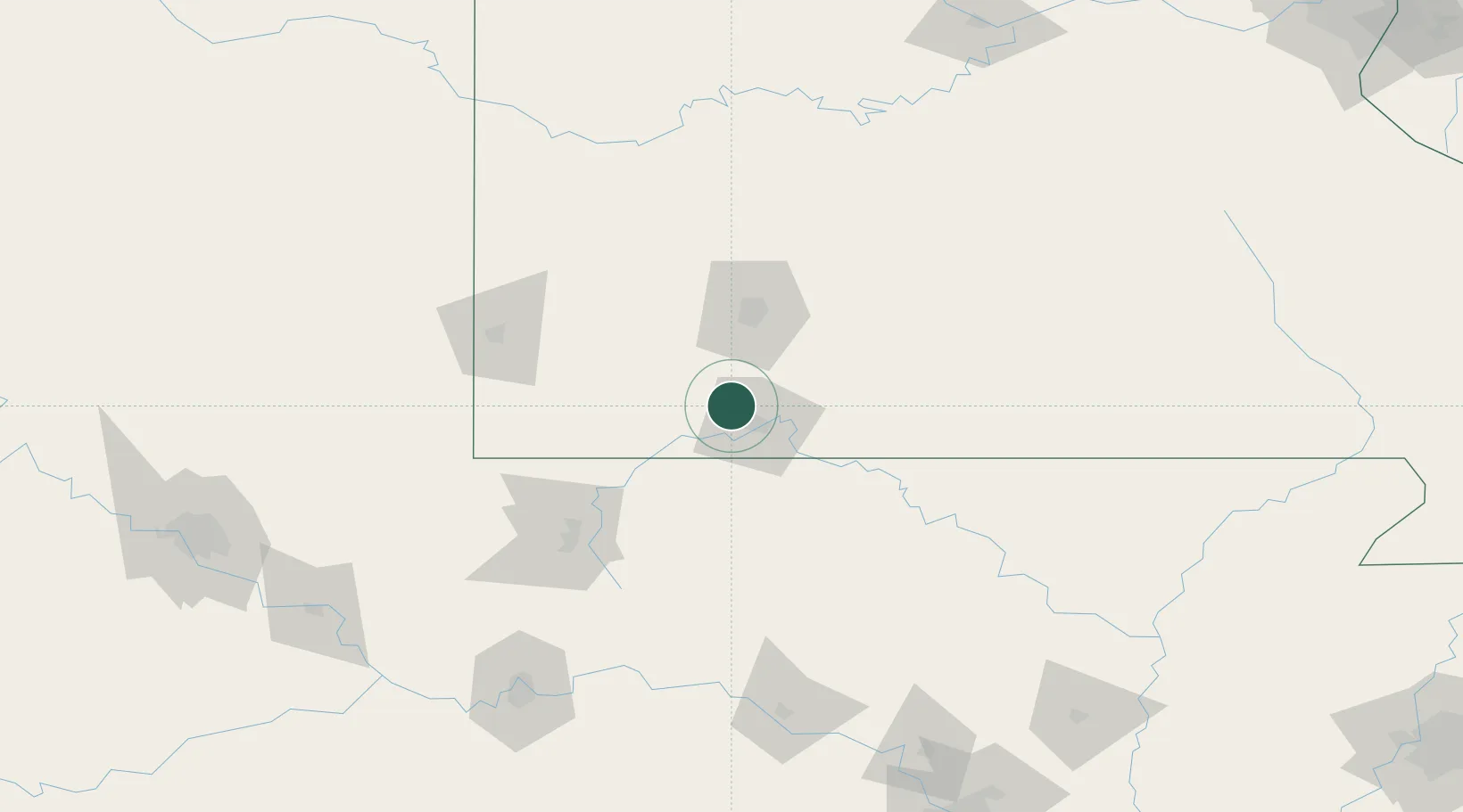
Reeds Spring
36.7500°, -93.3833°
865
Population
2
Transport functions
Transport Functions
Rail
Road
Hub Profile
Place type
Populated place
Region
Missouri
Population
865
Time zone
America/Chicago
Elevation
360 m
Location
Nearby Logistics Neighbours
Cities
- 1Kimberling City13 km
- 2Walnut Shade18 km
- 3Hollister22 km
- 4Jenkins27 km
- 5Golden35 km
Ports
- 1Port Of Memphis345 km
- 2Lake Charles727 km
- 3Baton Rouge730 km
- 4Orange742 km
- 5Beaumont744 km
Airports
Trade Zones
- 1FTZ No. 225 Springfield54 km
- 2FTZ No. 164 Muskogee217 km
- 3FTZ No. 053 Rogers County225 km
- 4FTZ No. 014 Little Rock251 km
- 5FTZ No. 015 Kansas City268 km
DatabookThe Record of Consolidated Knowledge
United States beyond logistics?