Foreign Trade Zone · United States

FTZ No. 225 Springfield Active
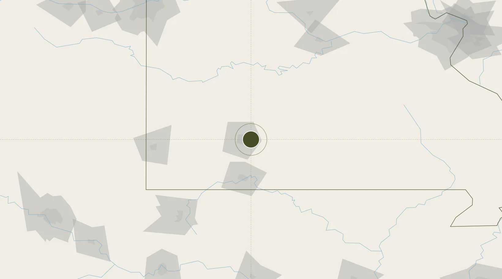
37.1998°, -93.1542°
358.1 km
Nearest port
21.4 km
Nearest airport

Gateway access

Nearest neighbours — logibook spatial index (haversine) over the source coordinates

Zone profile

Zone type
Foreign Trade Zone
Open Zone Map
Region
Missouri
Open Zone Map
Status
Active
Open Zone Map
Management
Public-Private Partnership
Open Zone Map
Operator
City of Springfield Airport Board
Open Zone Map
Legal framework
Foreign-Trade Zones Act
Open Zone Map

Location

Location of ozm-4946
Natural Earth 10m (public domain) · Missouri · ozm-4946 · 37.20, -93.15GoogleOSMYandex

Nearby Logistics Neighbours

Ports
  1. 1Port Of Memphis358 km
  2. 2Indiana Harbor698 km
  3. 3Calumet Harbor699 km
  4. 4Gary701 km
  5. 5Chicago705 km
Nearest neighbours — logibook spatial index (haversine) over the source coordinates
Airports
  1. 1Springfield Branson National Airport21 km
  2. 2Branson Airport74 km
  3. 3Boone County Airport104 km
  4. 4Waynesville-St. Robert Regional Airport-Forney Field108 km
  5. 5Ozark Regional Airport111 km
Nearest neighbours — logibook spatial index (haversine) over the source coordinates
Cities
  1. 1Fordland21 km
  2. 2Brookline24 km
  3. 3Brookline Station24 km
  4. 4Marshfield27 km
  5. 5Willard27 km
Nearest neighbours — logibook spatial index (haversine) over the source coordinates
Trade Zones
  1. 1FTZ No. 015 Kansas City238 km
  2. 2FTZ No. 017 Kansas City258 km
  3. 3FTZ No. 053 Rogers County259 km
  4. 4FTZ No. 164 Muskogee262 km
  5. 5FTZ No. 102 St. Louis County268 km
Nearest neighbours — logibook spatial index (haversine) over the source coordinates
DatabookThe Record of Consolidated Knowledge
United States beyond logistics?
Browse databook

All Sources

Trade ZonesOpen Zone Map
CC BY
Portsthe NGA World Port Index
Public domain (US gov)
AirportsOurAirports
Public domain
LocationsUN/LOCODE
UN/LOCODE — free
← United States trade zones