Medium airport · United States

Ozark Regional AirportKBPK
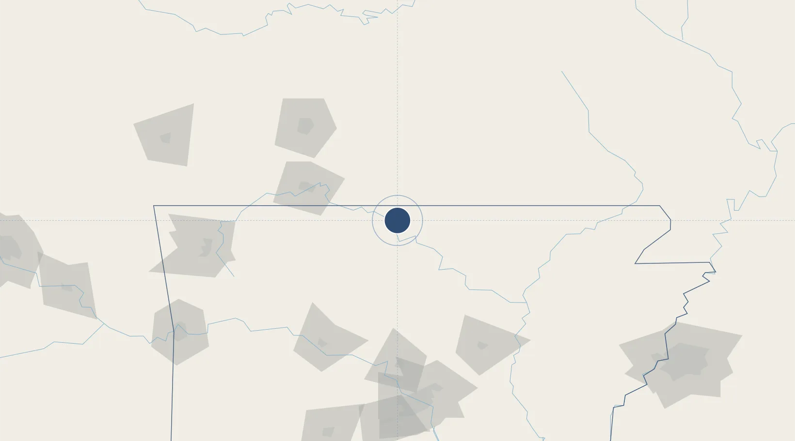
36.3689°, -92.4705°
5,000 ft
Longest runway
1
Runways
928 ft
Elevation

Runway & Layout

Ozark Regional Airport runway & taxiway layout
Runway & taxiway layout — OpenStreetMap (ODbL) / OurAirports

Radio Frequencies

ASOS
133.975 MHz
CNTR
126.85 MHz
MEMPHIS CNTR
UNIC
123 MHz
CTAF/UNICOM
OurAirports

Runways · 1

RunwayDimensions SurfaceTrue headingLit
05/23 5,000 × 75ft Asphalt 052°
OurAirports

Airport Specifications

IATA code
WMH
OurAirports
ICAO code
KBPK
OurAirports
Airport class
Medium airport
OurAirports
Scheduled service
No
OurAirports
Runway surface
Asphalt
OurAirports
Served city
Mountain Home
OurAirports

Location

Location of KBPK
Natural Earth 10m (public domain) · Arkansas · KBPK · 36.37, -92.47GoogleOSMYandex

Nearby Logistics Neighbours

Airports
  1. 1Boone County Airport63 km
  2. 2Branson Airport68 km
  3. 3Springfield Branson National Airport127 km
  4. 4Waynesville-St. Robert Regional Airport-Forney Field155 km
  5. 5Drake Field158 km
Nearest neighbours — logibook spatial index (haversine) over the source coordinates
Cities
  1. 1Midway2 km
  2. 2Flippin15 km
  3. 3Norfork24 km
  4. 4Tecumseh28 km
  5. 5Western Grove52 km
Nearest neighbours — logibook spatial index (haversine) over the source coordinates
Ports
  1. 1Port Of Memphis253 km
  2. 2Baton Rouge669 km
  3. 3Lake Charles688 km
  4. 4Madisonville698 km
  5. 5Orange709 km
Nearest neighbours — logibook spatial index (haversine) over the source coordinates
Trade Zones
  1. 1FTZ No. 225 Springfield111 km
  2. 2FTZ No. 014 Little Rock186 km
  3. 3FTZ No. 077 Memphis243 km
  4. 4FTZ No. 273 West Memphis247 km
  5. 5FTZ No. 287 Tunica County250 km
Nearest neighbours — logibook spatial index (haversine) over the source coordinates
DatabookThe Record of Consolidated Knowledge
United States beyond logistics?
Browse databook

All Sources

AirportsOurAirports
Public domain
Portsthe NGA World Port Index
Public domain (US gov)
LocationsUN/LOCODE
UN/LOCODE — free
Trade Zonesthe World Bank SEZ database
CC BY 4.0
Trade ZonesOpen Zone Map
CC BY
InfrastructureOpenStreetMap
ODbL 1.0
← United States airports