Medium airport · United States
Springfield Branson National AirportKSGF
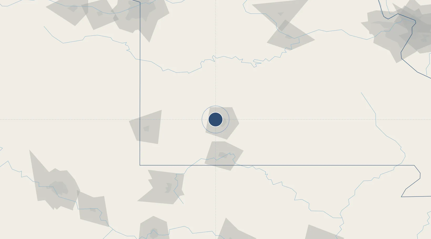
37.2450°, -93.3886°
8,000 ft
Longest runway
2
Runways
1,268 ft
Elevation
Runway & Layout

Radio Frequencies
ATIS
119.05 MHz
TWR
119.9 MHz
GND
121.9 MHz
CLD
123.675 MHz
CLNC DEL
A/D
124.95 MHz
APP/DEP
OPS
134.95 MHz
ARNG OPS
RDO
122.55 MHz
COLUMBIA RDO
UNIC
122.95 MHz
UNICOM
Navaids
ILJ NDB Willard 254 kHz
SG NDB Coole 404 kHz
Runways · 2
| Runway | Dimensions | Surface | True heading | Lit |
|---|---|---|---|---|
| 14/32 | 8,000 × 150ft | Asphalt / concrete | 142° | ✓ |
| 02/20 | 7,003 × 150ft | Concrete | 022° | ✓ |
Airport Specifications
IATA code
SGF
ICAO code
KSGF
Airport class
Medium airport
Scheduled service
Yes
Runway surface
Asphalt / concrete
Served city
Springfield
Location
Nearby Logistics Neighbours
Airports
- 1Branson Airport81 km
- 2Joplin Regional Airport99 km
- 3Boone County Airport111 km
- 4Waynesville-St. Robert Regional Airport-Forney Field123 km
- 5Ozark Regional Airport127 km
Cities
- 1Willard7 km
- 2Brookline11 km
- 3Brookline Station13 km
- 4Republic16 km
- 5Brighton23 km
Ports
- 1Port Of Memphis377 km
- 2Calumet Harbor709 km
- 3Indiana Harbor709 km
- 4Gary712 km
- 5Chicago715 km
Trade Zones
- 1FTZ No. 225 Springfield21 km
- 2FTZ No. 015 Kansas City221 km
- 3FTZ No. 053 Rogers County242 km
- 4FTZ No. 017 Kansas City242 km
- 5FTZ No. 164 Muskogee249 km
DatabookThe Record of Consolidated Knowledge
United States beyond logistics?