Foreign Trade Zone · United States

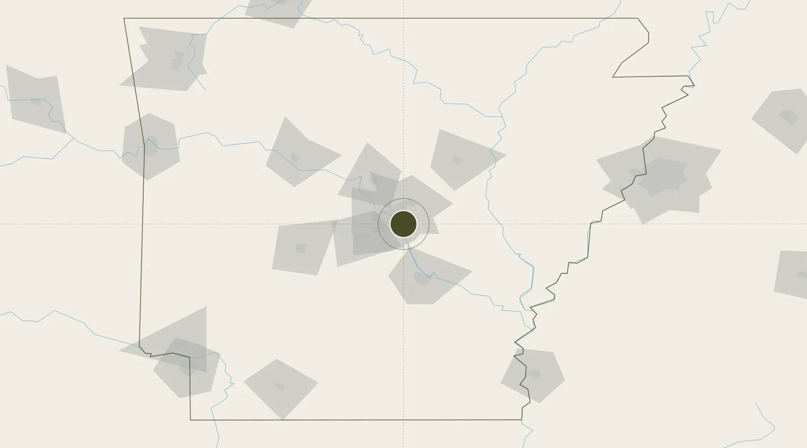
FTZ No. 014 Little Rock Active

34.7133°, -92.1917°
188.8 km
Nearest port
3.4 km
Nearest airport

Gateway access

Nearest neighbours — logibook spatial index (haversine) over the source coordinates

Zone profile

Zone type
Foreign Trade Zone
Open Zone Map
Region
Arkansas
Open Zone Map
Status
Active
Open Zone Map
Management
Public
Open Zone Map
Operator
State of Hawaii
Open Zone Map
Legal framework
Foreign-Trade Zones Act
Open Zone Map

Location

Location of ozm-4862
Natural Earth 10m (public domain) · Arkansas · ozm-4862 · 34.71, -92.19GoogleOSMYandex

Nearby Logistics Neighbours

Ports
  1. 1Port Of Memphis189 km
  2. 2Baton Rouge483 km
  3. 3Lake Charles510 km
  4. 4Madisonville516 km
  5. 5Orange535 km
Nearest neighbours — logibook spatial index (haversine) over the source coordinates
Airports
  1. 1Bill & Hillary Clinton National Airport/Adams Field3 km
  2. 2Little Rock Air Force Base23 km
  3. 3Saline County Regional Airport30 km
  4. 4Pine Bluff Regional Airport, Grider Field64 km
  5. 5Memorial Field Airport87 km
Nearest neighbours — logibook spatial index (haversine) over the source coordinates
Cities
  1. 1Sherwood10 km
  2. 2Mabelvale19 km
  3. 3Alexander25 km
  4. 4England29 km
  5. 5Byant31 km
Nearest neighbours — logibook spatial index (haversine) over the source coordinates
Trade Zones
  1. 1FTZ No. 287 Tunica County139 km
  2. 2FTZ No. 077 Memphis183 km
  3. 3FTZ No. 273 West Memphis189 km
  4. 4FTZ No. 223 Memphis195 km
  5. 5FTZ No. 262 Southaven199 km
Nearest neighbours — logibook spatial index (haversine) over the source coordinates
DatabookThe Record of Consolidated Knowledge
United States beyond logistics?
Browse databook

All Sources

Trade ZonesOpen Zone Map
CC BY
Portsthe NGA World Port Index
Public domain (US gov)
AirportsOurAirports
Public domain
LocationsUN/LOCODE
UN/LOCODE — free
← United States trade zones