UN/LOCODE hub · United States
USHRM
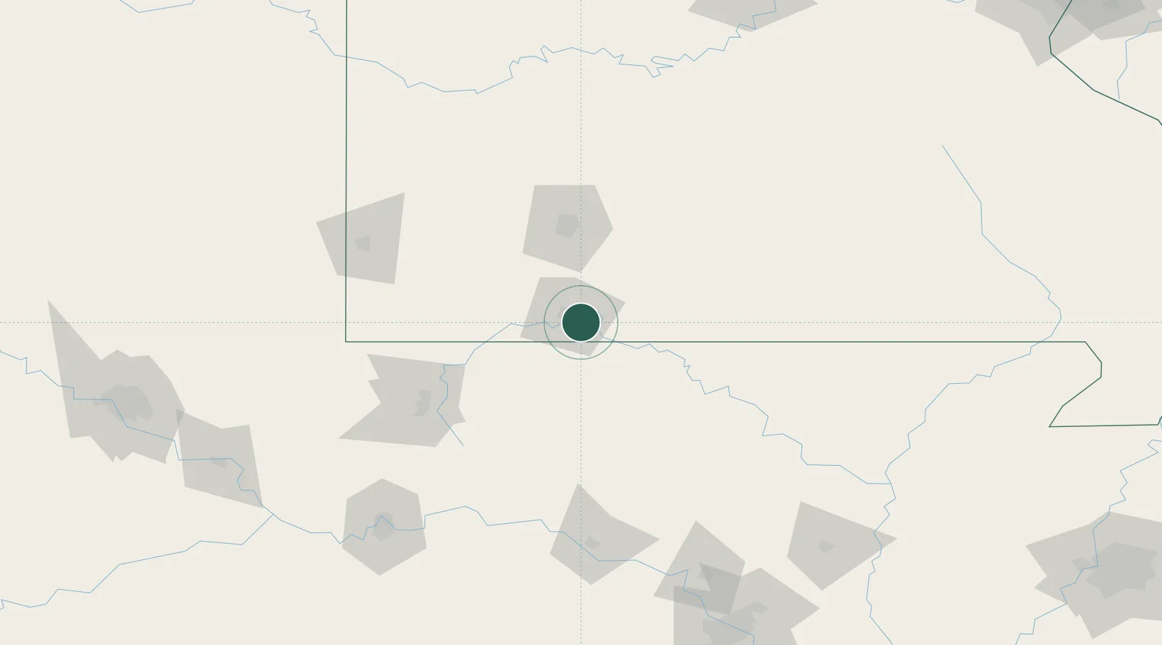
Hollister
36.6167°, -93.2000°
4,499
Population
3
Transport functions
Transport Functions
Port
Rail
Road
Hub Profile
Place type
Populated place
Region
Missouri
Population
4,499
Time zone
America/Chicago
Elevation
220 m
Location
Nearby Logistics Neighbours
Cities
- 1Walnut Shade11 km
- 2Kimberling City19 km
- 3Reeds Spring22 km
- 4Golden42 km
- 5Berryville43 km
Ports
- 1Port Of Memphis323 km
- 2Baton Rouge711 km
- 3Lake Charles712 km
- 4Orange728 km
- 5Beaumont731 km
Airports
Trade Zones
- 1FTZ No. 225 Springfield65 km
- 2FTZ No. 164 Muskogee224 km
- 3FTZ No. 014 Little Rock230 km
- 4FTZ No. 053 Rogers County239 km
- 5FTZ No. 015 Kansas City289 km
DatabookThe Record of Consolidated Knowledge
United States beyond logistics?