Medium airport · United States
Branson AirportKBBG
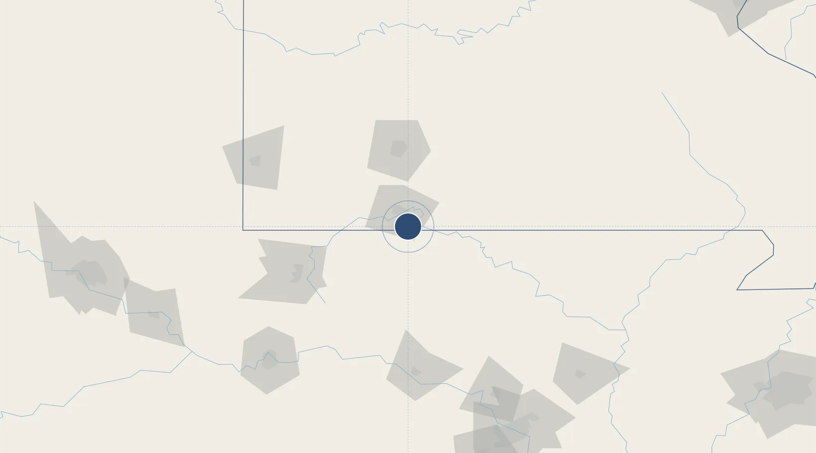
36.5321°, -93.2005°
7,140 ft
Longest runway
1
Runways
1,302 ft
Elevation
Runway & Layout

Runways · 1
| Runway | Dimensions | Surface | True heading | Lit |
|---|---|---|---|---|
| 14/32 | 7,140 × 150ft | CONC-G | 145° | ✓ |
Airport Specifications
IATA code
BKG
ICAO code
KBBG
Airport class
Medium airport
Scheduled service
Yes
Runway surface
CONC-G
Served city
Branson
Location
Nearby Logistics Neighbours
Airports
- 1Boone County Airport30 km
- 2Ozark Regional Airport68 km
- 3Springfield Branson National Airport81 km
- 4Northwest Arkansas National Airport103 km
- 5Drake Field105 km
Cities
- 1Hollister9 km
- 2Walnut Shade21 km
- 3Kimberling City22 km
- 4Reeds Spring29 km
- 5Berryville38 km
Ports
- 1Port Of Memphis318 km
- 2Baton Rouge702 km
- 3Lake Charles702 km
- 4Orange719 km
- 5Beaumont722 km
Trade Zones
- 1FTZ No. 225 Springfield74 km
- 2FTZ No. 164 Muskogee220 km
- 3FTZ No. 014 Little Rock222 km
- 4FTZ No. 053 Rogers County238 km
- 5FTZ No. 015 Kansas City297 km
DatabookThe Record of Consolidated Knowledge
United States beyond logistics?