Medium airport · United States
Boone County AirportKHRO
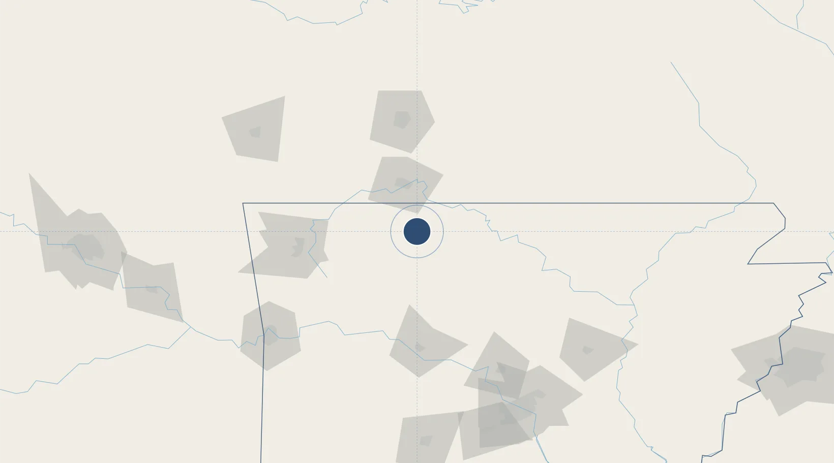
36.2615°, -93.1547°
6,161 ft
Longest runway
1
Runways
1,365 ft
Elevation
Runway & Layout

Radio Frequencies
ASOS
121.125 MHz
CNTR
126.85 MHz
MEMPHIS CNTR
RDO
122.45 MHz
JONESBORO RDO
UNIC
123 MHz
CTAF/UNICOM
Navaids
HRO VOR-DME Harrison 112.50 MHz
Runways · 1
| Runway | Dimensions | Surface | True heading | Lit |
|---|---|---|---|---|
| 18/36 | 6,161 × 150ft | Asphalt | 186° | ✓ |
Airport Specifications
IATA code
HRO
ICAO code
KHRO
Airport class
Medium airport
Scheduled service
Yes
Runway surface
Asphalt
Served city
Harrison
Location
Nearby Logistics Neighbours
Airports
- 1Branson Airport30 km
- 2Ozark Regional Airport63 km
- 3Drake Field96 km
- 4Northwest Arkansas National Airport103 km
- 5Springfield Branson National Airport111 km
Cities
- 1Western Grove26 km
- 2Berryville39 km
- 3Hollister40 km
- 4Cullen42 km
- 5Kimberling City48 km
Ports
- 1Port Of Memphis301 km
- 2Baton Rouge672 km
- 3Lake Charles672 km
- 4Orange689 km
- 5Beaumont692 km
Trade Zones
- 1FTZ No. 225 Springfield104 km
- 2FTZ No. 014 Little Rock193 km
- 3FTZ No. 164 Muskogee214 km
- 4FTZ No. 053 Rogers County242 km
- 5FTZ No. 287 Tunica County287 km
DatabookThe Record of Consolidated Knowledge
United States beyond logistics?