Transport Functions
Road
Multimodal
Hub Profile
Place type
Populated place
Region
Missouri
Population
280
Time zone
America/Chicago
Elevation
352 m
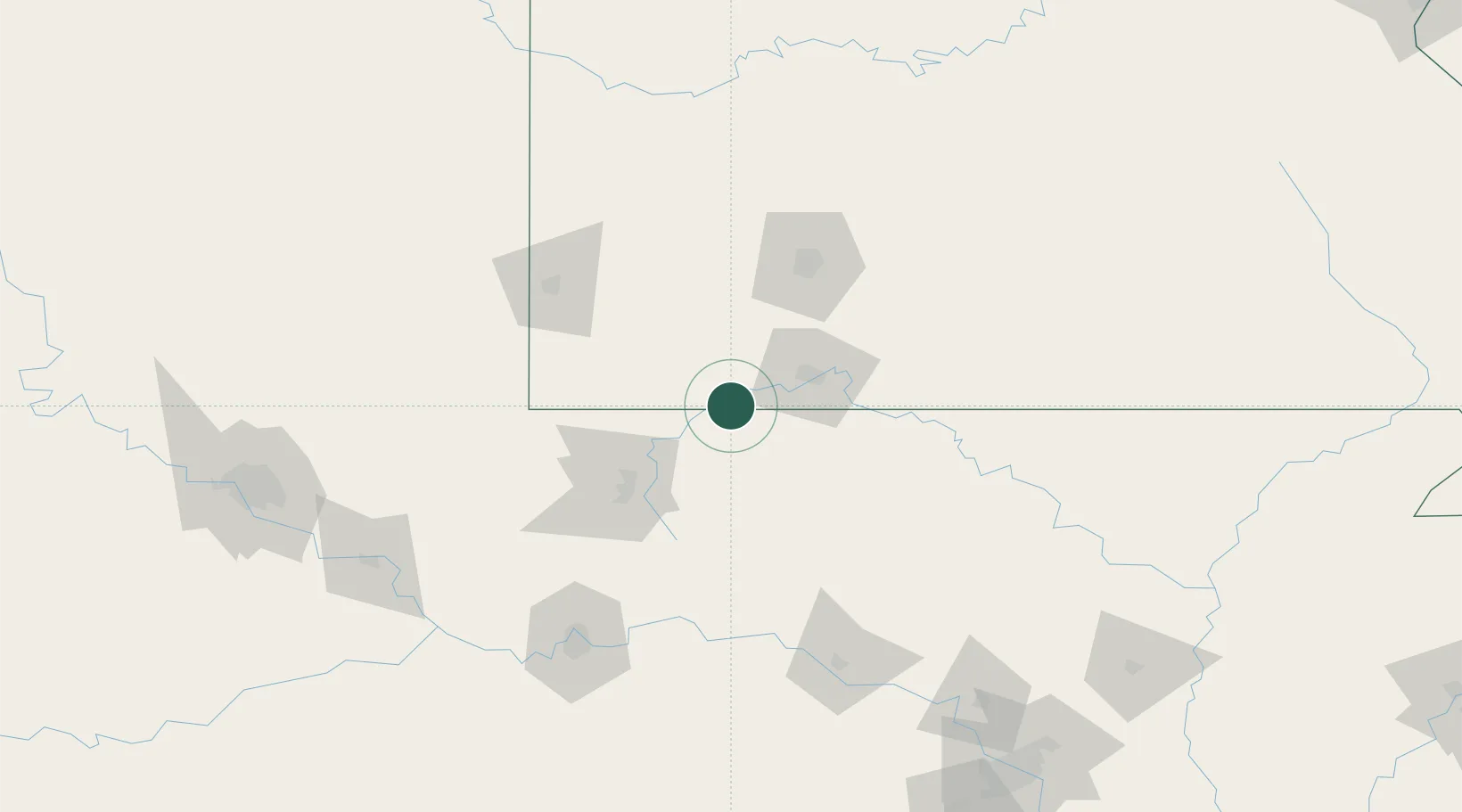
Location
Nearby Logistics Neighbours
Cities
- 1Berryville18 km
- 2Kimberling City25 km
- 3Cassville27 km
- 4Garfield30 km
- 5Jenkins30 km
Ports
- 1Port Of Memphis353 km
- 2Lake Charles702 km
- 3Baton Rouge712 km
- 4Orange715 km
- 5Beaumont717 km
Airports
- 1Branson Airport40 km
- 2Boone County Airport53 km
- 3Northwest Arkansas National Airport64 km
- 4Drake Field74 km
- 5Springfield Branson National Airport84 km
Trade Zones
- 1FTZ No. 225 Springfield88 km
- 2FTZ No. 164 Muskogee183 km
- 3FTZ No. 053 Rogers County198 km
- 4FTZ No. 014 Little Rock240 km
- 5FTZ No. 015 Kansas City281 km
DatabookThe Record of Consolidated Knowledge
United States beyond logistics?